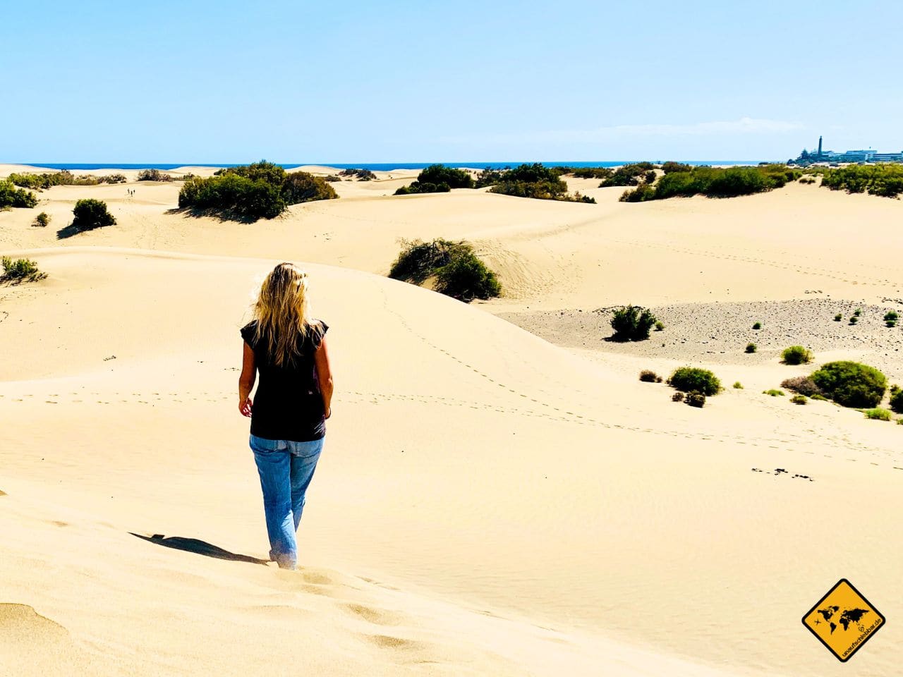
The Canary Islands government has confirmed, according to a report by La Provincia, a planned adjustment to the boundary of the Maspalomas dunes nature reserve. Within the framework of the digitalisation bill for natural spaces («Ley de Digitalización de los Límites de la Red Canaria de Espacios Naturales Protegidos»), a reduction of 260,000 square metres is foreseen. The government insists the protection status will not be weakened. As of 4 May 2026.
What the bill actually says
According to the government's public participation portal, the bill originally started in 2018, was paralysed in 2021 and was restarted in February 2025 under Consejero Manuel Miranda. The aim: to migrate the 146 protected natural spaces of the Canaries — covering around 40 percent of the islands' surface — from the 1987 paper maps (scale 1:5,000) to GPS coordinates. Today, the official boundaries rest on the Reclasificación and Cartográfico annexes to Ley 12/1994 and to Decreto Legislativo 1/2000.
In the transition from paper to GPS, the government argues, discrepancies between the written and the graphic description of boundaries become visible. Such discrepancies are not new: in 2017, the Ley del Suelo corrected the western boundary of the dunes after a 2016 ruling of the Tribunal Superior de Justicia de Canarias identified a «gross error» in interpretation. That correction added protection rather than removed it — land near the Riu Oasis hotel moved from urban into the reserva.
The number in context: 260,000 m² of 403.9 ha
The Reserva Natural Especial de las Dunas de Maspalomas measures 403.9 hectares since 1994 — defined under code C-7 of Ley 12/1994. It lies within the municipality of San Bartolomé de Tirajana, bordered to the north by Playa del Inglés and Campo de Golf, to the west by El Oasis and Campo Internacional, and to the south and east by the roughly six-kilometre coastline.
260,000 square metres equals 26 hectares — about 6.5 percent of the current total. A reduction of that order is not trivial. Where exactly the 26 hectares would come from has not been specified publicly by the government in the La Provincia briefing — the bill remains, according to publicly available information, in procedure.
The government's position
Manuel Miranda, Consejero for Política Territorial, Cohesión Territorial y Aguas, has repeatedly stated since the relaunch in February 2025 that the project serves «mayor seguridad jurídica» and «mayor protección» — greater legal certainty and more protection. The Consejo de Gobierno's communication explicitly states that the law should ensure «la no regresión de los espacios naturales» — no rollback of protection.
The tension between this statement and the 260,000 m² reduction reported by La Provincia is the core of the current debate. From the government's standpoint this is a technical adjustment to actual conditions, not a political reduction of protection. From the standpoint of critics quoted in La Provincia, a reduction is a reduction — regardless of the label attached.
What the Cabildo is doing in parallel
While the regional government advances the digitalisation bill, the Cabildo Gran Canaria opened the procedure for the PORN in April 2026 — the Plan de Ordenación de los Recursos Naturales of the dunes. On the initiative of the island Consejera for Política Territorial y Paisaje, Inés Miranda, the PORN is intended to give the reserve a binding planning instrument to manage the pressures of tourism, erosion and climate change.
The two procedures are separate but thematically related. The digitalisation law defines the boundary. The PORN sets what may happen inside the boundary. If the boundary recedes by 26 hectares before the PORN is ready, the PORN's protective effect applies to a smaller area — regardless of how strict it turns out to be.
What remains open
Four questions remain at this stage. First: along which edge of the reserva would the 26 hectares be removed? Second: what is the actual present use of those areas — sand, vegetation, or already adjacent urbanisation? Third: how does a reduction reconcile with the «no regresión» pledge if 6.5 percent of the area is lost? Fourth: how will the Cabildo Gran Canaria, planning its PORN on 403.9 hectares, respond?
A bill that the Canary Parliament has not yet approved remains open to amendment. The public consultation phase of the participation procedure is the place where these questions can be put on the record. We will stay on the story.
Frequently asked questions
Who is planning the reduction of the Maspalomas dunes?
The Canary Islands government, through the Consejería de Política Territorial, Cohesión Territorial y Aguas under Consejero Manuel Miranda, within the framework of the Ley de Digitalización de los Límites de la Red Canaria de Espacios Naturales Protegidos. Briefing as of 4 May 2026 according to La Provincia.
How big is the planned reduction?
260,000 square metres — 26 hectares. That is roughly 6.5 percent of the current 403.9 hectares of the Reserva Natural Especial de las Dunas de Maspalomas, set out under code C-7 of Ley 12/1994.
What is the goal of the digitalisation law?
To migrate the 146 Canary protected spaces (40 percent of the islands' surface) from 1987 paper maps at scale 1:5,000 to GPS coordinates — for greater legal certainty, according to the government, and compatibility with the national Banco de Datos de la Naturaleza and the European Environment Agency.
Does the protection status disappear with the reduction?
According to the government, no. It pledges «no regresión» — no rollback of protection — and emphasises more, not less protection. Critics quoted by La Provincia note that a reduction of 26 hectares remains a reduction.
What is the Cabildo Gran Canaria doing?
The Cabildo, under Consejera Inés Miranda, started in April 2026 the procedure to draft a Plan de Ordenación de los Recursos Naturales (PORN) for the dunes — as a binding planning instrument over 403.9 hectares. The PORN's reference area could change through digitalisation if 26 hectares are removed.