Since when: Since Storm Therese in mid-March — already a full month
Anomaly: Below-average temperatures, significantly higher rainfall than normal
March summary: "Very cold" (−1.2°C anomaly), record rainfall (456% above average)
Outlook: Further storms, wind, swell and rain until at least late April
The Canary Islands have been experiencing an unusual weather phase since mid-March 2026 — and according to Spain's national weather service AEMET, it will continue for at least another two weeks. A newly published forecast map shows a negative temperature anomaly for the archipelago through to the end of April at least.
March 2026: Cold Record and Rainfall Record
According to AEMET data, last March was classified as "very cold" for the Canaries. The average temperature was 14.6°C, representing a deviation of −1.2°C from the 1991–2020 reference period. At the same time, rainfall was record-breaking: 114.6 millimetres on average, amounting to 456 per cent of the normal figure. It was the wettest March since records began — largely caused by Storm Therese, which swept across the archipelago in mid-March with gale-force winds, torrential rain and flooding.
April Brings No Relief
Instead of the usual spring stabilisation, April has brought one weather disturbance after another. After Therese came a DANA in early April, a polar cold snap from April 9 and now another storm system bringing wind, rain and heavy swell over the weekend. AEMET currently has yellow warnings active for coastal phenomena and wind on several islands.
The AEMET 14-day forecast map shows the Canaries continuing to record temperatures below the seasonal average — an unusual picture for April, which normally marks the transition to the dry, warm early summer.
Temperatures: 2–4°C below April average, especially at night and at higher altitudes
Wind: Recurring episodes of strong to very strong gusts
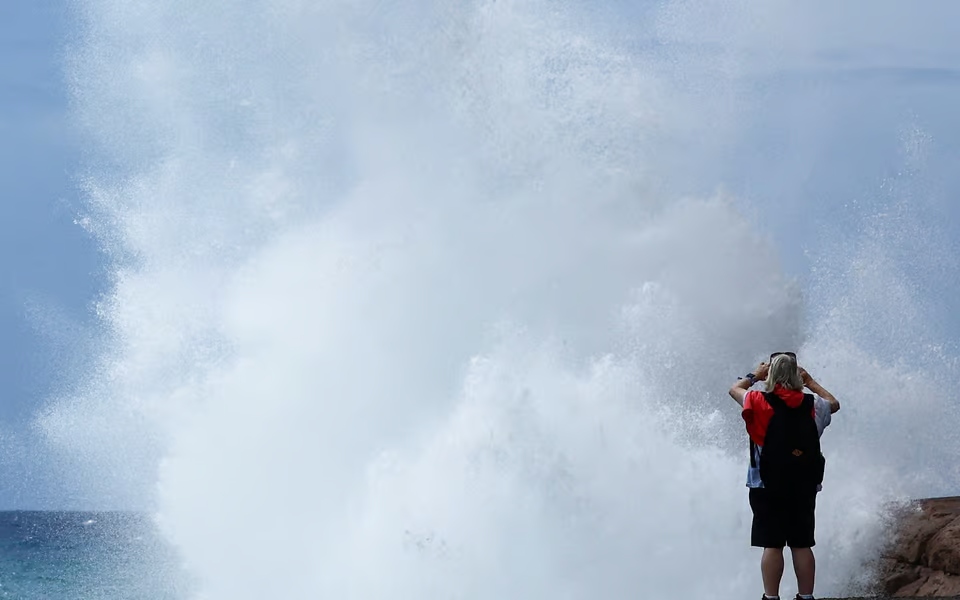
Swell: Waves of 2–4 metres, occasionally higher — ferry services affected
Rainfall: Recurring showers and localised thunderstorms, especially on western islands and at higher elevations
Impact on Tourists and Residents
For holidaymakers, the anomaly primarily means flexibility. Beach days remain possible — especially in the south of Gran Canaria and Tenerife — but mountain excursions, hikes and boat trips should be planned around the weather. Ferry services between islands may be cancelled or delayed at short notice, as Friday's incident on the Tenerife–La Palma route demonstrated.
For farmers and water supply, however, the wet phase has a silver lining: reservoirs on Gran Canaria and Tenerife are filling up, and soils have finally rebuilt reserves after years of drought.
Not an Isolated Event, But a Pattern
What distinguishes the current phase from individual storm events: this is not an isolated low-pressure system but a persistent weather pattern. The jet stream has been running unusually far south for weeks, repeatedly feeding moist, cool Atlantic air to the Canaries — instead of the high-pressure setups with calm, dry weather typical for this time of year.
AEMET continues to issue warnings for the coming days. Current information: aemet.es and @AEMET_Canarias on X.