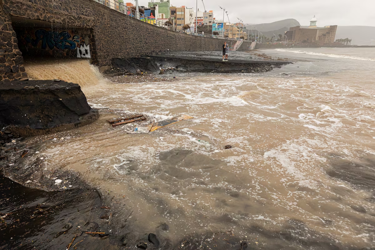
Current Situation (Friday, 10 April)
On Friday, the weather across the Canaries is gradually calming. Wind is easing through the day but remains gusty in the channel between La Gomera and Tenerife. Cloud cover concentrates on the northern slopes of the mountainous islands and on Lanzarote and Fuerteventura, where light showers remain possible. Wave height in the north is dropping to 3–3.5 metres. Temperatures remain below the seasonal average — light frost is still possible at Teide summit.
The Canarian government’s emergency services are maintaining coastal warnings. Exposed coastal sections on the north and west sides remain hazardous, particularly during high tide.
What Happened on Thursday
On Thursday 9 April, an Atlantic front carrying polar air struck the archipelago. AEMET activated warnings for all islands: yellow for wind and coastal phenomena across the archipelago, orange for Lanzarote due to combined northwest swell with wave heights between 5 and 6 metres.
Wind gusts generally exceeded 70 km/h, reaching 80 km/h and above on summit ridges and south-facing slopes of Tenerife, Gran Canaria and La Palma. Authorities urged particular caution during high tide periods, forecast for 06:35 and 19:05.
Eight Flights Diverted
- Fuerteventura: 5 flights diverted — including connections from Seville, Madrid and Warsaw. Two flights (from Tenerife North and Gran Canaria) had to return to origin
- Gran Canaria: 2 flights affected — from Gothenburg and Bristol, diverted to Tenerife South
- Lanzarote: 2 flights from London Stansted and Dublin diverted to Tenerife South
- Cause: Crosswind and wind shear made safe landings impossible
Polar Air Intrusion: Why This Storm Is Unusual
AEMET describes the event as a polar air intrusion that set in after several days of stable weather. The polar air mass displaces warm air and brings not only storm and rain but also a noticeable temperature drop. Light frost was recorded at Teide summit — a phenomenon rare in April.
For tourists, the coastal danger is the most relevant concern. The combination of high swell and tidal changes creates potentially dangerous conditions at piers, seafront promenades and bathing areas. Emergency services stress: beaches on the north coast and exposed coastal sections should be avoided.
Forecast: Weekend Brings Relief
Models show a gradual calming from Friday afternoon. Wind decreases through the day, cloud cover thins and wave height drops. A return to more stable conditions is expected on Saturday, though northerly wind will remain noticeable.
Travellers currently in the Canaries or arriving in the coming days are advised to check flight status before departure, avoid coastal excursions on the north side and follow official AEMET warnings at aemet.es follow.
Warnings Overview (as of 10 April)
- Lanzarote: Orange — coastal warning (waves 5–6 m)
- All islands: Yellow — wind (gusts 70–80 km/h) and coastal phenomena
- Tenerife summit: Light frost possible
- Lanzarote/Fuerteventura: Light to moderate rainfall
- Air traffic: Situation normalising, isolated delays possible