Canary Islands Weekend Weather: AEMET Sees a Brief Heat Break
The Canary Islands are in line for a short break from the heat at the end of the month. According to La Provincia (28 August 2026), the state weather agency AEMET expects a so-called "tregua térmica", a mild cooling with some weak rain mainly across the northern halves of the islands on Thursday and Friday.
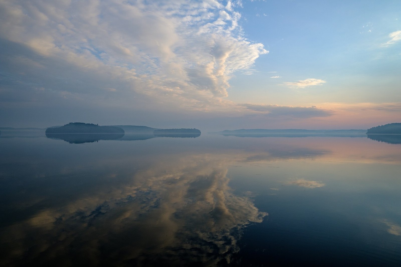
Photo: Unknown author Unknown author, CC0 (Symbolbild).
The relief does not last, though. Temperatures are forecast to climb back above 30 degrees Celsius on Sunday and Monday. If you are planning a beach weekend, the south stays mostly pleasant. One caveat up front: weather forecasts change, and this article is based on press summaries of the AEMET outlook.
The weekend outlook
According to AEMET, as reported by La Provincia, the last week of August first brings slightly lower temperatures and some weak rain, largely confined to the northern halves of the islands. This brief cooling falls mainly on Thursday and Friday.
By the weekend the pattern flips back: for Sunday and Monday the agency expects readings above 30 degrees again. So this is a genuine but temporary heat break rather than a lasting change of season.
Gran Canaria in detail
For Gran Canaria, AEMET expects cloud intervals in the north that are more compact during the first half of the day. The rest of the island, including the southern tourist areas, stays mostly clear or only slightly cloudy.
Temperatures show little change or dip slightly. For Las Palmas de Gran Canaria, La Provincia cites values of 23 to 27 degrees. In practice that means good beach weather in the south, while the north may see more cloud in the morning.
The wind: northeasterly trades
The northeasterly trade winds set the tone. AEMET describes them as light to moderate at low levels. In the highlands, light westerly winds blow at first and pick up slightly after midday.
For the coast and beaches that means steady rather than extreme wind conditions. The trades also shape the typical cloud pattern, with more cover along the northern sides of the islands.
The sea and swell
At sea, AEMET reports north to northeast wind of force 3 to 5, occasionally 6. The sea state is described as "marejadilla o marejada", meaning slight to moderate.
On top of that comes a north to north-west swell of 1 to 3 metres, decreasing progressively through the day. Anyone planning water sports or boat trips should check the sea state first, even though no official warning is mentioned.
No warning levels, but stay careful
The press summaries mention no official AEMET warnings ("avisos") for this period. One of the forecasts states explicitly that no warning-level conditions are expected during the second half of the day.
That said, this is drawn from press reports, not from a direct check of the official AEMET warning map. If you have outdoor plans, it is worth a quick look at the current situation on aemet.es beforehand.
For water sports or boat trips, check the sea state first: the 1-to-3-metre swell is easing, but it can still be noticeable in the morning.
Based on the available press summaries, no official AEMET aviso is in force for this period.
That information comes from press reports, not from a direct check of the official warning map.
Facts and figures
- AEMET expects a brief "tregua térmica" in the last week of August, with slightly lower temperatures (La Provincia, 28 August 2026).
- Weak rain mainly in the northern halves of the islands on Thursday and Friday; back above 30 degrees on Sunday and Monday.
- Gran Canaria: north cloudier in the morning, south mostly clear; Las Palmas de Gran Canaria 23 to 27 degrees.
- Wind: northeasterly trades, light to moderate at low levels; light westerly in the highlands, freshening slightly after midday.
- Sea: north to northeast wind force 3 to 5, occasionally 6; sea state slight to moderate; north/north-west swell of 1 to 3 metres, decreasing.
- Per the press summaries, no official AEMET warnings are mentioned for this period.
FAQ
- How warm will the weekend be?
- After the brief cooling, AEMET expects temperatures back above 30 degrees on Sunday and Monday. Las Palmas de Gran Canaria is cited at 23 to 27 degrees.
- Where will it rain?
- The weak rain is concentrated mainly in the northern halves of the islands, chiefly on Thursday and Friday.
- Is southern Gran Canaria affected?
- Barely. The southern tourist areas are forecast to stay mostly clear or only slightly cloudy, while the north sees more cloud in the morning.
- Is there an official weather warning?
- Based on the available press summaries, no official AEMET aviso is mentioned. That does not replace a direct check on aemet.es.
- What should I watch for when swimming?
- The sea state: AEMET reports slight to moderate seas with a swell of 1 to 3 metres that eases through the day.
Read on
- Canary Islands on 13 Oct: fiestas, opera and storytellingCanary Islands · 13 October
- Grandchildren’s Law: vote suspended for 163,020, report saysCanary Islands · 13 October
- Calima in the Canary Islands: Heat up to 34 Degrees and Sahara Dust This WeekendCanary Islands · 20 May
- Canary Islands Weather & Calima 2026 — Climate, AEMET, Storms, HealthCanary Islands · 22 April
- Canaries 12 Oct: Pilar fiestas, Fetish Pride, DJ brunchCanary Islands · 12 October
- All events on the Canary Islands →