What changes for beachgoers on Sunday?
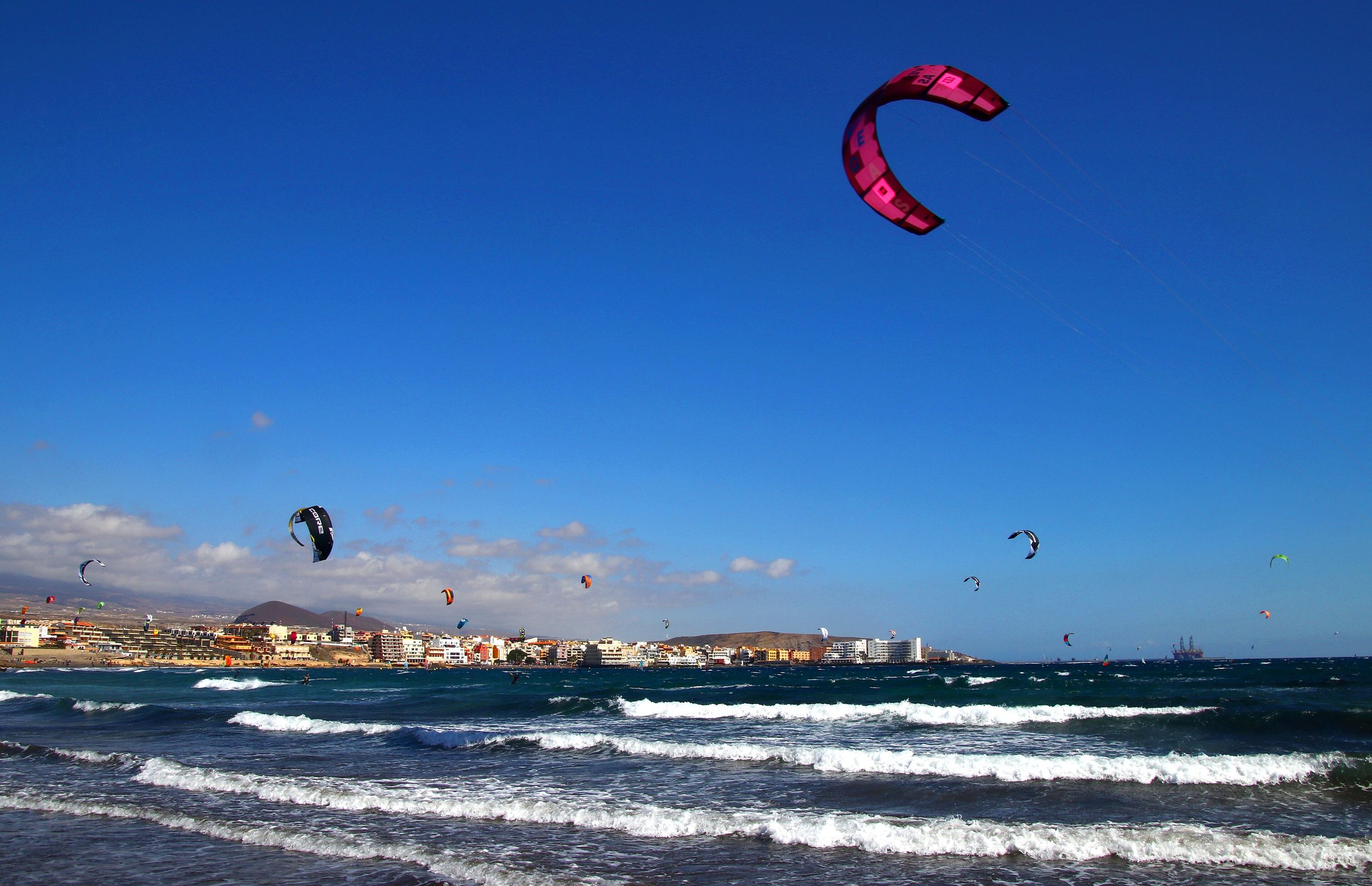
Conditions for beach stays remain comparatively favourable on the southern and western stretches of coast, particularly on Gran Canaria. AEMET reports a maximum temperature of 27 degrees and light wind for Maspalomas beach on Sunday.
In sheltered bays on the south coasts, a day of swimming is perfectly feasible.
On exposed stretches of coast, however, the north-easterly wind can be strong at times. The official coastal forecast mentions north to north-easterly winds of force 4 to 5, locally 6, with moderate to rough seas in several sea areas. Anyone heading to open north or east coasts should check the local beach flags on arrival.
Where do mountain walks become problematic in the afternoon?
For hiking and mountain activities, the northern slopes and higher areas are more difficult to plan around. AEMET expects denser cloud, rain and at times stronger wind there in the afternoon.
On Gran Canaria, Tenerife, La Palma, La Gomera and El Hierro, the northern slopes may be cloudy to overcast in the afternoon. Rainfall may persist locally for longer. Paths in the medianías, the mid-altitude areas, can become slippery.
112 Canarias advises avoiding outings, camping and unnecessary journeys in rain. Anyone who must drive should go slowly and not cross flooded areas. In an emergency, the number to call is 1-1-2.
What temperatures are expected on each island?
AEMET expects a high of 26 degrees and a low of 22 degrees for Las Palmas de Gran Canaria. Santa Cruz de Tenerife is forecast to reach a high of 27 degrees and a low of 21 degrees.
For Arrecife on Lanzarote, a high of 27 degrees and a low of 21 degrees are forecast. Puerto del Rosario on Fuerteventura is expected to reach a high of 26 degrees and a low of 21 degrees. Santa Cruz de La Palma should reach a high of 25 degrees and a low of 21 degrees.
In San Sebastián de La Gomera, around 24 degrees maximum and 20 degrees minimum are possible. Valverde on El Hierro is expected to reach about 22 degrees maximum and 18 degrees minimum. The report gives no specific temperature values for La Graciosa.
Are there official weather warnings?
The official coastal forecast contains no warnings for the period up to Sunday, 18 October 2026, 20:00 local time. There are also no active warnings for the open sea areas south of 35 degrees north latitude until 18 October 2026, 20:00 UTC.
AEMET produces the weather forecast and the state warnings. The Dirección General de Emergencias of the Gobierno de Canarias activates warning levels when necessary under the Plan Específico de Protección Civil y Atención de Emergencias de la Comunidad Autónoma de Canarias, known as PEFMA.
According to the available information, no new specific declaration of a pre-alert level has been issued for 18 October 2026. The weather remains changeable, however, so local conditions should be checked on the day itself.
What does this mean for residents and visitors?
No closures, fees, application deadlines or special rules for residents, expats or tourists are mentioned. The report concerns weather planning only.
Beach and mountain activities remain possible in principle, according to the available information. For exposed stretches of coast and hiking routes in the north, current local conditions should be checked on the day itself.
No comparison with the previous month or previous year, and no statement about a specific temperature or rainfall difference, is given in the available sources.
What happens after Sunday?
AEMET describes 18 October 2026 as a day with variable cloud and occasional light showers. No forecast beyond that for the following days is included in the available sources.
Anyone out and about on Sunday should check the local forecast in the morning. In rain, the advice from 112 Canarias applies: avoid unnecessary journeys, drive slowly and do not cross flooded areas.
For information from the Gobierno de Canarias, the number 012 is given. In an emergency, 1-1-2 is the official recommendation.