What does the weather mean for the south and the main resorts?
For holidaymakers in the southern municipalities of Gran Canaria, the weather on 13 October 2026 remains largely pleasant.
According to AEMET, significant rainfall in the south and southwest of the island is extremely unlikely. The protective effect of the central mountain range keeps the moist air masses away from the north.
Anyone planning a beach day will therefore continue to find good conditions in the south. The cloud cover may thicken at times and hide the sun, but there is hardly any reason to pack rainwear.
Where will it be wet on 13 October?
The north and the northeastern slopes of Gran Canaria will feel the moist influence of the northeast trade winds on Tuesday 13 October 2026. AEMET forecasts predominantly cloudy to heavily overcast skies for these areas.
Light to moderate rain is expected throughout the day. The mid-altitude areas in the north are particularly affected. The capital Las Palmas de Gran Canaria also lies within this zone.
There is no risk of storms or snow. Temperatures remain somewhat subdued due to the dense cloud cover.
What should hikers and day-trippers bear in mind?
For walks in the north and in the mid-altitude areas of Gran Canaria, visitors should plan for rainwear on 13 October 2026. The moist sea air is pushed against the mountain slopes by the northeast trade winds, producing rainfall there.
No specific closures, shutdowns, fee or access regulations are mentioned in the available sources. The available reports contain no new prices, application deadlines or legal changes.
For trips to the south or to the beaches of Maspalomas, Playa del Inglés and Mogán, the situation is more relaxed. According to AEMET, it remains dry and mild there.
How will wind and sea develop?
The wind on 13 October 2026 will be moderate from the northeast and may strengthen in the afternoon. The southeast and northwest of Gran Canaria are considered particularly exposed to wind.
For ferry crossings or swimming trips, it is worth checking the updated coastal forecast.
What happens after 13 October?
The instability is only short-lived.
Are there official warnings for Gran Canaria?
Responsibilities are clearly separated: AEMET produces the forecast and issues meteorological warnings with a 48-hour range. The activation of civil protection alert or pre-alert levels lies with the Gobierno de Canarias.
For 14 October 2026, the consulted sources contain no exceptional civil protection recommendation for Gran Canaria.
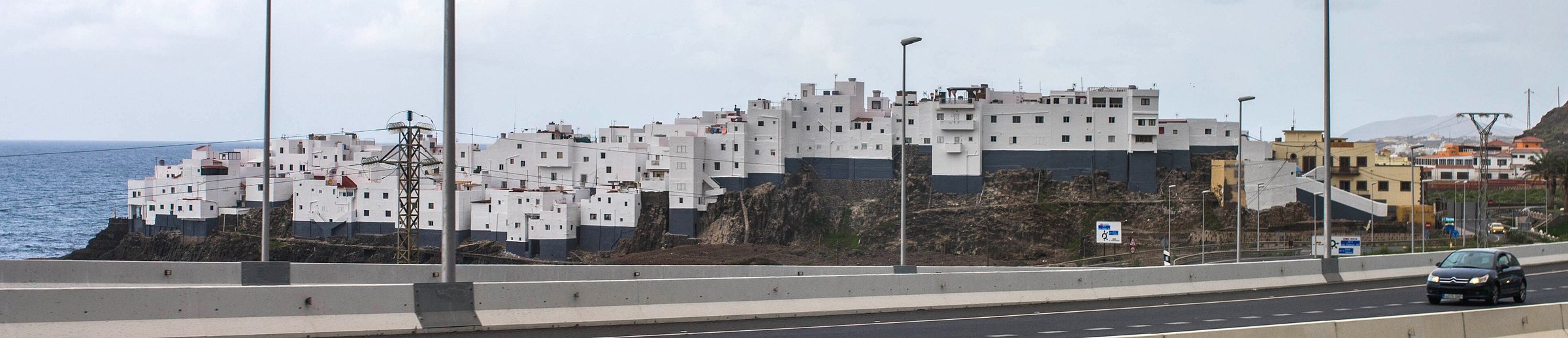
What role does Gran Canaria's geography play?The meteorological split of Gran Canaria is typical for the island. The central mountain range blocks the moist air masses and divides the climate into two halves.
The persistent northeast trade winds push moist sea air against the mountain slopes in the north. The south and southwest, by contrast, benefit from the protective effect of the mountains.
This is why conditions for residents and holidaymakers often differ considerably on the same day. The AEMET zones "Norte de Gran Canaria" and "Este, sur y oeste" reflect this contrast.
What applies to Agaete and the northwest?For 13 October 2026, the general forecast also applies to this zone: cloudy, occasional light rainfall, moderate northeast wind.
What does this mean for residents and expats?For residents, foreign residents and tourists, the available reports contain no new prices, application deadlines, legal changes or closures.
The forecast primarily affects everyday outdoor life: in the north, rain protection is advisable, while beach weather remains possible in the south. Commuters should expect strengthening wind in the afternoon.
The forecast contains no reliable monthly or annual comparison figure. A comparison with September 2026 or October 2025 is therefore not possible.