Which hiking routes on La Gomera are most worthwhile?
The official tourism portal lists several main walks suited to different levels. The Contadero – El Cedro route near Hermigua is 5.8 km long and takes about 3:30 hours.
It has around 551 m of elevation change and is of medium difficulty. The path leads through a valley influenced by trade wind clouds; mobile phone coverage is only partially available. The season is given as all year round.
The linear mountain walk La Calera – Arure starts in the coastal town of Valle Gran Rey and leads over the La Mérica massif to Arure. Steep climbs and a paved, partly steep ascent characterise the route; the walking time is about 3 hours.
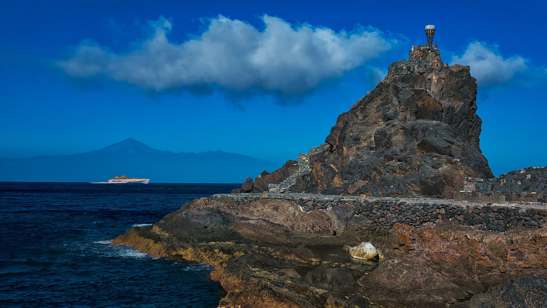
The Arure – Valle Gran Rey, “Entre mar y montaña” route is 11.72 km long and takes about 4:30 hours. It starts at the Mirador del Santo near Arure and leads over the Risco de La Mérica to La Calera.
It continues past Playa del Inglés, Charco del Cieno, the Hautacuperche statue and Charco del Conde. Officially, the route is recommended all year round.
Which circular walks and long-distance routes are there?
The official hiking map gives the Laguna Grande – Alto de Garajonay – Laguna Grande route a length of 10.2 km and a walking time of about 6:05 hours. It lies in the centre of the island and leads to the highest point of the island.
The circular walk Chipude – Alto de Garajonay – Chipude is also one of the official main walks on the tourism portal. The Agulo – Hermigua – Juego de Bolas – Agulo route is also an official circular walk in the north.
For experienced walkers, the long-distance route San Sebastián – Hermigua via Enchereda and GR 132 is suitable. It leads from the island capital to La Cerca near Hermigua; the stated walking time is 8:45 hours.
The official hiking map also contains routes such as Degollada de Peraza – Los Roques – Alto de Garajonay – Igualero – Chipude, Vallehermoso – Tamargada – Agulo, El Bailadero – Chorros de Epina – Chijeré – Playa and Los Roques – Benchijigua – Playa Santiago.
What are the GR 131 and GR 132 long-distance trails?
The official tourism portal lists two long-distance trails: the GR 131 Cumbres de La Gomera and the GR 132 Costas de La Gomera. Both belong to the marked network of trails.
The GR 131 runs through the island's interior and highlands, the GR 132 along the coast. The San Sebastián – Hermigua long-distance route uses sections of the GR 132.
For both long-distance trails: because of the steep relief, walking time, elevation change, return transport and daylight should be checked before setting off. Where paths are closed, walkers must not divert onto side paths.
What rules apply in Garajonay National Park?
Garajonay National Park may only be entered on authorised roads and paths. Parking is only permitted in designated areas; dogs must be kept on a lead.
Camping and overnight stays, drones, paragliders, parachutes, kites and balloons are prohibited. Bicycles are not permitted on hiking trails; they may only be ridden on roads and most tracks.
Also prohibited are fires outside the designated fireplaces and permitted periods, as well as the removal of plants, flowers, mushrooms, stones or other natural materials. Bathing in the forest streams, hunting and carrying weapons are not allowed.
Climbing requires express permission from the park authority. Professional photo, film and video recordings as well as advertising require prior permission. The park may temporarily close paths, viewpoints and other facilities because of weather warnings, forest fire risk or construction work.
What equipment and safety advice is important?
The park authority recommends suitable footwear, preferably trekking or mountain boots, warm clothing and sufficient water and food. On open sections of path, walkers should also carry head covering and sun protection on clear days.
Mobile phone coverage is not reliably available on all paths. For the Contadero–El Cedro route, only interrupted network coverage is expressly stated.
Because of the steep relief, walking time, elevation change, return transport and daylight should be checked before setting off. Where paths are closed, walkers must not divert onto side paths.
How much does hiking cost and how is access organised?
Individual permits, guided offers or municipal facilities may have their own conditions. A general entrance fee for hiking in the park is not mentioned in the official sources consulted.
Opening hours of individual visitor centres should be checked directly with the park authority before travelling.
Costs typically arise from travel, bus or taxi, parking, food and optional guided tours. Prices for guided walks and transfers vary by provider and season and should be checked for the specific year of travel.