Audiencia Nacional annuls coastal boundary in southern Gran Canaria, halting a hotel demolition
Spain's Audiencia Nacional has annulled a coastal boundary demarcation ("deslinde de costas") in the south of Gran Canaria that had threatened the four-star Beach Club San Agustín hotel with a partial demolition order. The news agency Efe and the outlet Canarias Ahora (eldiario.es), along with Canarias7, reported the ruling on 16 August 2026.
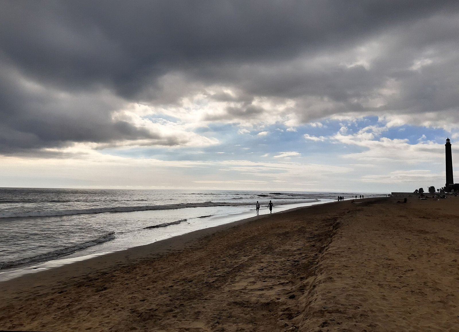
Photo: Gerda Arendt, CC BY-SA 4.0 (Symbolbild).
The building stands on Playa de San Agustín, in the municipality of San Bartolomé de Tirajana. According to the ruling, the court voided roughly 700 linear metres of the demarcation, effectively suspending a demolition order that dated from 2010 — until a fresh demarcation procedure is carried out. The State may still appeal.
What the court decided
According to the ruling, the Audiencia Nacional annulled about 700 linear metres of the coastal boundary in the Playa de San Agustín area. The decisive point was its finding that construction of the San Agustín seafront promenade (paseo marítimo) had physically altered the terrain and therefore its legal classification, as Efe and Canarias Ahora reported.
A coastal demarcation fixes the legal boundary between the public maritime-terrestrial domain (dominio público marítimo-terrestre) and private property. When that line moves, so does the question of which structures count as occupying public land.
Why the promenade was decisive
The demarcation was challenged by Extur GC, the hotel's owner. It relied, reportedly, on the Third Additional Provision (Disposición Adicional Tercera) of the 2013 Coastal Law (Ley de Costas). That clause allows boundaries to be adjusted where major promenades built before 2013 physically altered the terrain.
The municipality had built the promenade in 2000 with authorisation from the Coastal Authority (Demarcación de Costas). That very intervention is now the central argument: the ground no longer matches the natural coastal profile on which the original demarcation was based, according to the court's reasoning as reported by Efe.
The 2010 demolition order
The order now suspended dates from 2010. It required, according to Efe and Canarias7, the removal of roughly 130 square metres of the four-storey building — along a strip about 70 metres long and between two and five metres wide, classified as occupying the public maritime domain.
With the demarcation annulled, that order loses its basis for the time being. It is effectively suspended until the authorities complete a new demarcation procedure. A demolition is therefore not in prospect at this stage.
A long path through the courts
The case spans more than two decades. In 2000 the municipality built the promenade; in 2010 the partial demolition order was issued; in late 2021 the Canary Islands high court (Tribunal Superior de Justicia de Canarias, TSJC) declared itself not competent and referred the case to the Audiencia Nacional. On 16 August 2026 that court finally struck down the demarcation, as Canarias Ahora reported.
A Tribunal Supremo ruling of 31 January 2024, concerning how the additional provision applies in comparable cases, is cited as relevant background. The decision thus joins a run of disputes over coastal boundaries along the Canary Islands' shores.
What happens next — and what is at stake
After the ruling, the owner must await a new demarcation procedure. The competent enforcement authority is the Ministry for Ecological Transition (Ministerio para la Transición Ecológica). The State's legal service (Abogacía del Estado) may appeal the ruling to the Tribunal Supremo, so the matter is not definitively closed.
The case touches two interests at once: legal certainty for owners whose buildings are affected by later public infrastructure, and protection of the public coastline. The Coastal Law is meant to secure free access to the shore and its preservation, which is why shifts in the boundary are closely watched.
A coastal demarcation decides where the public maritime-terrestrial domain ends and private property begins — and therefore which structures are tolerated.
Owners or buyers of coastal property in the Canary Islands should check the status of the relevant demarcation procedure with the Demarcación de Costas.
The ruling annuls the demarcation, but the Abogacía del Estado may appeal to the Tribunal Supremo.
The 2010 demolition order is suspended, not definitively lifted; a new demarcation procedure is still pending, and its outcome is uncertain.
Key points
- Around 700 linear metres of the coastal boundary in southern Gran Canaria annulled (Audiencia Nacional, via Efe and Canarias Ahora, 16 August 2026).
- Property affected: the four-star Beach Club San Agustín hotel, Playa de San Agustín, municipality of San Bartolomé de Tirajana.
- 2010 demolition order: removal of about 130 m² along a 70 m strip, 2–5 m wide (per Efe/Canarias7) — now suspended.
- Legal basis of the challenge: the Third Additional Provision of the 2013 Coastal Law, invoked by the owner, Extur GC.
- Promenade built in 2000 with authorisation from the Demarcación de Costas; the TSJC referred the case to the Audiencia Nacional in late 2021.
- Enforcement authority: Ministerio para la Transición Ecológica; a possible appeal by the Abogacía del Estado to the Tribunal Supremo.
FAQ
- What is a coastal demarcation ("deslinde de costas")?
- An administrative procedure that fixes the boundary between the public maritime-terrestrial domain and private property. It determines which land and structures count as occupying public domain.
- So the hotel will not be demolished?
- The partial demolition is suspended for now. With the demarcation annulled, the 2010 order loses its basis, but a new procedure must first be carried out.
- Why did the court annul the demarcation?
- According to the ruling, building the seafront promenade had physically altered the terrain. Under the Third Additional Provision of the 2013 Coastal Law, the boundary can be adjusted in such cases.
- Is the decision final?
- No. The Abogacía del Estado may appeal to the Tribunal Supremo. Until then the outcome remains provisional.
- Who is responsible for enforcement?
- The Ministerio para la Transición Ecológica. It would have to open a new demarcation procedure to redraw the boundary.
Read on
- Coastal authority orders demolition of the centenary Casa de las Señoras in PájaraFuerteventura · 26 August
- Art Blu Project: The Radisson Blu in southern Gran Canaria turns its hotel into an island art platformGran Canaria · 3 August
- Playa Blanca: part of Son Bou hotel to go after 21 yearsLanzarote · 12 November
- Gran Canaria ARC 2026: start 22 November, 124 yachtsGran Canaria · 20 November
- Las Palmas taxi fares 2026: among Spain's cheapest citiesGran Canaria · 20 November
- Maspalomas Guide: food, nightlife, tips and events
- All events on Gran Canaria →