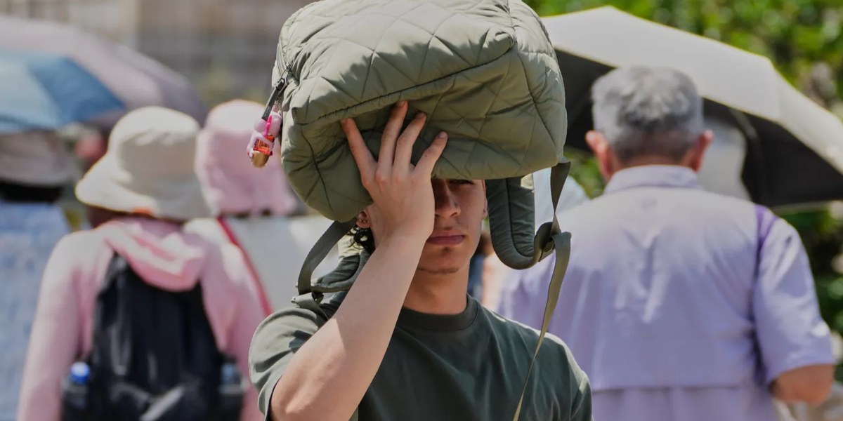
The trigger is a very warm air mass from Africa. Because the usually cooling trade winds ease off temporarily, it reaches the islands this time.
The rise begins at the weekend and intensifies early in the week. Tuesday looks like the hottest day, with up to 42 degrees locally in inland Gran Canaria.
The nights will be especially noticeable. From Sunday, lows stay above 25 degrees in many places — 28 to 30 degrees in mid-altitudes.
On top of the heat comes Saharan dust. A fresh calima moves over the eastern islands from Friday and reaches Gran Canaria on Sunday.
Frequently asked questions
- When will it be hottest?
- The peak looks set for Tuesday 7 July; the rise begins at the weekend. The duration is expected to run to around midweek.
- How hot will it get?
- Locally over 40 °C, up to 42 °C in inland Gran Canaria; generally 36 to 38 °C, plus tropical nights around 25 °C and above.
- What about the calima?
- From Friday, Saharan dust moves over Fuerteventura and Lanzarote, reaching Gran Canaria on Sunday. People with respiratory problems should take it easy.
- Is it as extreme as on the mainland?
- On current forecasts, no. The mainland expects 42 to 45 °C locally; on the Canaries the wave is likely to be milder.
- Do wildfire rules still apply?
- With high heat and dryness, caution is advised. Follow the current official alert levels and bans.
Read on
- After the summer's second heatwave: temperatures fall, warnings lapse — but the summer stays hotCanary Islands · 9 July
- Calima, 37°C, fire risk: the Canaries face the first major heatwave of 2026 — and it lasts a weekCanary Islands · 24 May
- Canary Islands health insurance: €60 convenio especialCanary Islands · 20 November
- Lozoyuela fire: Madrid forest work, no impact on CanariesCanary Islands · 20 November
- Canary Islands 20-22 Nov: Feria del Atún, Opera, FiestasCanary Islands · 20 November
- All events on the Canary Islands →
As of 03/07/2026. Sources include AEMET, Diario de Avisos, tiempo.com and Infobae. Temperatures, timeline and calima forecast refer to the state of forecasts from 2/3 July 2026 and are subject to uncertainty; the current official announcements always prevail. In an emergency call 112. This article is general information. Illustration.