What applies on Tenerife from Tuesday evening?
From 21:00 on Tuesday 10 November, Tenerife is under an orange wind warning. AEMET expects gusts of up to 110 km/h in the north and on the slopes in the east, south and west.
On Wednesday 11 November, the orange wind warning stays in force from 00:00 to 17:59. In exposed areas, AEMET says gusts may exceed 120 km/h.
The headline “Canaries on orange alert” only half fits. The warnings are tiered, and on Tenerife orange applies to wind, not to rain.
When does it get critical for visitors in the south?
The critical window runs from Tuesday night to Wednesday evening. Wind is the main danger, especially in the north, on the slopes and at altitude.
In the Santa Cruz area, a yellow wind warning also applies on 11 November from 12:00 to 20:59, with gusts of 70 km/h. Rain arrives there earlier, from 09:00, at 20 l/m² per hour.
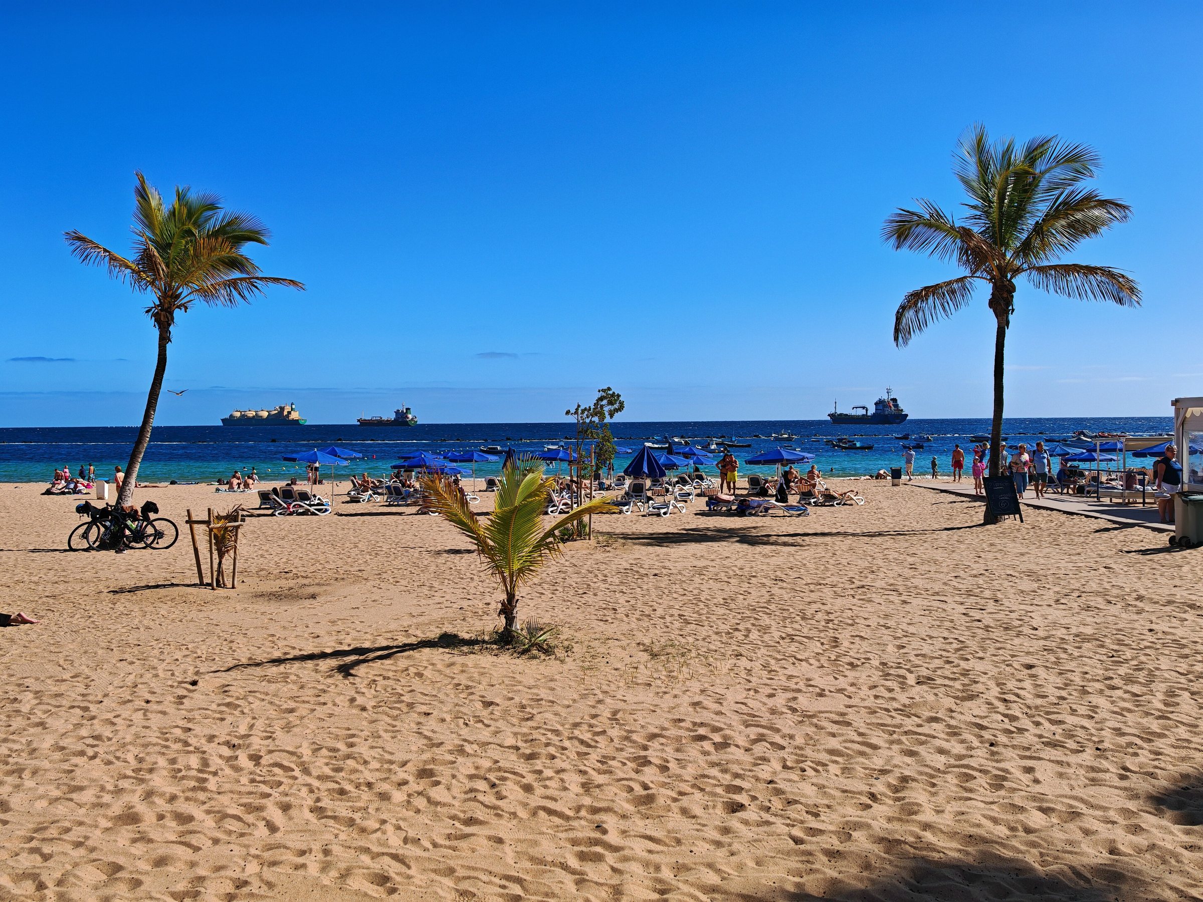
A yellow coastal warning brings south-westerly winds of 50 to 61 km/h. They hit beaches and harbour breakwaters in the south, where Tenerife’s resorts lie, and AEMET names exposed coasts among the affected zones.
What should residents and visitors do now?
The Cabildo de Tenerife (island government) lists advice from the emergency agency and the 112 emergency line on its bad-weather page. Anyone who can should stay indoors with doors and windows shut.
Move anything the wind can pick up off balconies and roofs: flower pots, furniture and awnings. Leave beaches and low coastal spots, and avoid narrow streets with trees, old buildings, walls and fences.
Drivers should find a safe, clearly visible place to stop. In rain, the government reportedly advises skipping unnecessary journeys, avoiding flooded roads and staying away from ravines.
How did the new low come about?
The warnings stem from a new low that follows Storm Bruna. According to Meteored, a weather service, it could have subtropical or tropical features and bring very heavy rain on Wednesday, in its assessment of 7 November.
Some reports call the low “Charles”, but the official AEMET bulletin does not confirm the name. It therefore counts as unconfirmed.
Bruna was weaker than forecast, but it brought standing water, drainage problems, power cuts, landslides and gusts above 100 km/h. Gran Canaria suffered most: the emergency coordination centre CECOES 112 reported about 20 incidents, mostly in Telde and Las Palmas de Gran Canaria.
Who decides the alert levels, and what is still open?
AEMET issues the colour warnings yellow, orange and red. The Canary Islands government separately declares the civil protection levels Prealerta (pre-alert), Alerta (alert) and Alerta máxima (maximum alert) through its emergency agency.
The two systems can differ. For 10 and 11 November, the research found neither a government alert level nor a fresh activation of the PEIN emergency plan on Tenerife.
No school closures, flight or ferry cancellations or road closures have been reported for Tenerife so far. Anyone flying or taking a ferry should check with the airline or ferry company.
AEMET calls the development of the new low uncertain. The warnings may therefore be raised, lowered or extended.
Current updates are available from AEMET, 112 Canarias and the Cabildo de Tenerife. For general information only, the number is 012.