What changes for visitors from Sunday?
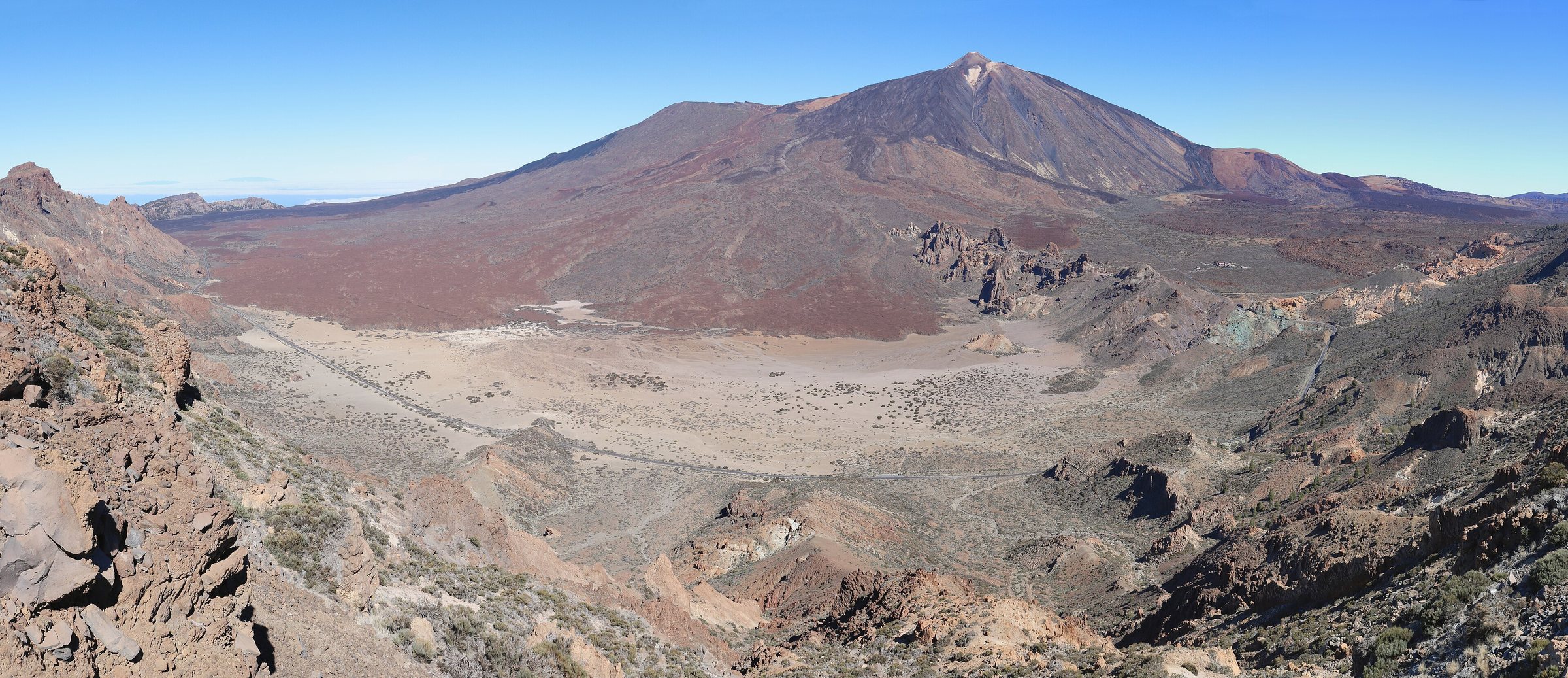
From 00:00 on Sunday 8 November, all tracks, paths and hiking trails in Tenerife’s protected natural areas are closed, the Cabildo says. The ban covers every other outdoor activity in those places too.
The Cabildo also suspends permits for canyoning, climbing, filming and sports events. If you have booked a guided tour or a cross-country race, check with the organiser.
Camping zones and recreation areas close as well, and hunting stops. Access to the Barranco de Masca and the Barranco del Infierno (ravines) stays shut.
The Cabildo did not say whether operators will refund booked tours. Its statement gave no details on flights, schools or road closures.
What does the weather agency expect in the south?
AEMET (the state weather agency) has declared orange for Tenerife on Sunday from 00:00 to 18:00, with up to 100 litres per square metre in 12 hours. The north, the Santa Cruz area and the eastern, southern and western slopes are affected, and AEMET singles out the southern and western slopes.
For wind, the north is on orange with gusts of up to 90 km/h. The rest of Tenerife is on yellow with up to 70 km/h, and a yellow thunderstorm warning covers all eight islands.
On Saturday, AEMET expects gusts of around 70 km/h in northern Tenerife from midday. These figures are thresholds, not even rainfall totals for every municipality.
For comparison, Tenerife had only yellow on 2 November, with up to 20 litres per square metre in one hour. La Palma, La Gomera and El Hierro were on orange then.
How long do the closures last, and what applies to residents?
The Cabildo had named no end date by Friday. The closures stay until a new resolution from the Consejería Insular (the Cabildo’s responsible department) lifts them, once the causes have passed and possible damage has been checked.
Protección Civil (the civil protection service) expects the weather event to last at least until Tuesday 10 November. It forecasts some improvement on Monday and Tuesday, and possibly heavier rain and wind again from Wednesday.
Rosa Dávila, president of the Cabildo, asks residents to avoid unnecessary journeys. The Cabildo calls on its departments to close island-run facilities if keeping them open means travelling between municipalities.
Homes, fincas (country estates), businesses open to the public and their garages remain accessible. If you would have to use a closed track to reach one, ask the local environment officers (Medio Ambiente) first.
What is the PEIN, and who decides?
The PEIN (Plan de Emergencias Insular de Tenerife) is the Cabildo’s emergency plan for the whole island. According to the 2020 plan document on the Cabildo’s transparency portal, its civil protection service coordinates emergencies at island level.
The plan has three levels: Prealerta, Alerta and Alerta máxima. Activation can be preventive or operational, for the whole island or only parts of it.
The Cabildo relies on AEMET forecasts and on the warning levels of the Canary government’s Dirección General de Emergencias. Blanca Pérez, island councillor for Medio Natural, Sostenibilidad, Seguridad y Emergencias, names falling rocks, falling trees and rising ravines as the risks.
Pérez stresses: “These measures are not recommendations but restrictions that must be observed.” The Cabildo recommends that the 31 municipalities activate their local emergency plans (PEMU).
How did earlier activations go?
During Storm Nuria on 3 April 2025, the Cabildo closed all 41 hiking trails in Teide National Park. Classes also stopped at every school on the island, in agreement with the Canary government.
The Bruna statement mentions no school closures. Whether classes run on Monday is therefore open.
On 1 November, the PEIN stood at Alerta around Santa Cruz and at Prealerta on the rest of the island. The Cabildo also restricted seven trails in Teide National Park because of snow and ice, again with no end date.
During Storm Therese in March 2026, the Cabildo raised the plan first to Alerta, then to emergency, and deactivated it on 26 March. In August 2025, with heat and wildfire risk, the level rose to Alerta máxima on 6 August.
What should visitors keep in mind over the next few days?
The Cabildo advises people to follow official channels and the instructions of the emergency services. Avoid ravines, watercourses, flooded roads, exposed coasts, slopes and wooded areas.
The statement gave no emergency phone number. No resolution had appeared in the BOC (the Canary Islands official gazette) by Friday, so the details come from the Cabildo’s press release.
On Saturday 7 November, the wind picks up in the north, and the weather strengthens in the west of the islands. Alerta and the closures take effect at 00:00 on Sunday, and the orange warning runs until 18:00.
The Cabildo says it has all ordinary and extraordinary resources on standby. When the closures end depends on the situation after the storm.