Canary Islands: fire-risk alert, heat and Saharan dust
The Canary Islands government put the forest fire risk alert — the "alerta por riesgo de incendios forestales" — into force at 10:00 on Saturday 5 September for parts of Gran Canaria and Tenerife. The remaining areas of those two islands, plus La Palma, La Gomera and El Hierro, were placed at the lower pre-alert level. That is set out in the decision of the regional Directorate General for Emergencies, reported by Diario de Avisos and RTVC among others.
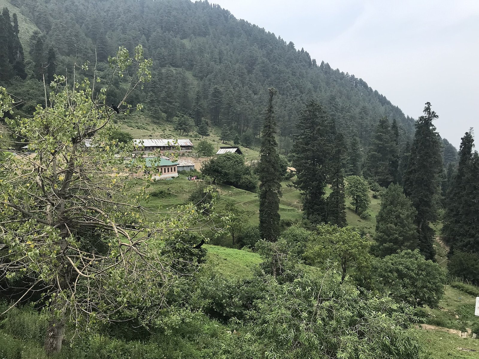
Photo: Huzaif Imtiyaz khan, CC BY-SA 4.0 (Symbolbild).
The framing matters. Nothing is burning. This is about risk — the combination of heat, very dry air and wind in which a single spark is enough. Equally important: alert levels expire, get downgraded or get extended. If you are reading this later, check the current status with 112 Canarias and AEMET rather than trusting a snapshot.
Three separate instruments, not one
Three notices are running in parallel across the islands and they are easy to confuse. First, the fire-risk alert declared by the Canary Islands government from 10:00 on Saturday 5 September for specific altitude zones of Gran Canaria and Tenerife. Second, a heat pre-alert, also from 10:00 that day and also for Gran Canaria and Tenerife, as reported by canariasenpleno.com. Third, a calima pre-alert — for suspended Saharan dust — which according to Cadena SER Canarias took effect on 3 September at 13:30 for Lanzarote, Fuerteventura, La Graciosa and Gran Canaria.
There is a fourth layer that does not come from the regional government at all: the Cabildo of Tenerife, the island council, separately activated its own Grade 1 fire risk for the south of the island. Alongside all of that sit the yellow warnings issued by the state weather agency AEMET, which are a system of their own again.
Four senders, four logics. It sounds like bureaucracy, but it has a practical consequence: only one of these notices carries concrete prohibitions you must obey — the Cabildo's. The others describe conditions and readiness.
Exactly which zones the alert covers
The alert does not blanket two whole islands; it applies to higher ground. On Tenerife, according to the published details of the decision, it covers the summits and mid-altitude belt of the island's southern and western slopes. On Gran Canaria it applies to the summit area, to north-facing slopes above 600 metres, and to the west, south and east zones above 400 metres.
Everything on Tenerife and Gran Canaria outside those zones, together with La Palma, La Gomera and El Hierro, sits at pre-alert. Lanzarote and Fuerteventura do not appear in this fire notice at all — they appear in the calima pre-alert instead.
In practice: the coastal resorts and beaches of southern Tenerife or southern Gran Canaria mostly lie below those thresholds. But anyone driving up into the medianías, towards Teide National Park, around Vilaflor or into the cumbre of Gran Canaria is moving through exactly the terrain this is about.
What the Cabildo of Tenerife actually prohibits
Tenerife's island council activated Grade 1 fire risk for the island's southern sector from 10:00 on 5 September. Within the affected area that means, according to reports by RTVC and canariasenpleno.com, a ban on: burning agricultural and forestry vegetation waste; lighting fires outdoors; smoking; using pyrotechnic material; and operating machinery or tools capable of producing sparks, heat or electrical discharges.
The municipalities listed are Candelaria, Arafo, Güímar, Fasnia, Arico, Granadilla de Abona, San Miguel de Abona, Arona, Vilaflor de Chasna, Adeje, Guía de Isora and Santiago del Teide, plus the part of El Rosario lying south of the TF-24 road.
The smoking ban surprises many visitors. It is a spatial measure: it applies to the area the risk grade covers — the mountain, forest and countryside zones of the south — not to a hotel balcony in Playa de las Américas. Walkers should still take it seriously; discarded cigarette ends are among the most common ignition sources.
The heat and dust picture, in figures
AEMET kept yellow high-temperature warnings in place for Gran Canaria on both Saturday and Sunday, from 10:00, covering the summits and the eastern, southern and western slopes. The official threshold is 35 degrees, with locally up to 37 degrees expected; the warning window ran from 10:00 to 19:59. For the capitals, AEMET gave 24 to 28 degrees in Las Palmas de Gran Canaria on both days, and 24 to 32 degrees in Santa Cruz de Tenerife on Saturday, 24 to 29 on Sunday, as relayed by Diario de Avisos.
Nights bring little relief: reports describe tropical nights with minima of 24 to 26 degrees, and locally around 30 degrees before dawn in Gran Canaria. Parts of Gran Canaria were also cited as seeing relative humidity below 30 per cent — and it is that dryness which turns heat into fire risk.
The calima mainly affects the eastern islands. When declaring the pre-alert, the emergencies service pointed to already elevated particle concentrations especially over Fuerteventura, Lanzarote and La Graciosa, with dust also reaching Gran Canaria, and warned that further inflow from Africa could thicken the haze and cut visibility further. As for the end of the episode: AEMET expected only a slight to moderate drop on Sunday on the northern slopes of the higher islands and on the western islands, with little change elsewhere. A clearer cooling was expected from the start of the following week; press coverage described an episode of at least three days.
The Canary ladder — and where to check the status
The Canary emergency system has three rungs: prealerta (pre-alert), alerta (alert) and alerta máxima (maximum alert). Pre-alert means heightened vigilance and services on standby, with no automatic restrictions. Alert signals that the event is considered likely and significant. The top level is used when serious disruption is expected — in earlier fire episodes this summer, La Provincia reported that it came with further measures such as restrictions on access to mountains, footpaths and forest tracks, and the closure of campsites and recreation areas where the island council ordered it.
Those rungs are one thing; the island councils' own risk grades are another. The two can rise or fall independently. So it is entirely normal for Tenerife to sit under a regional government alert in one part of the island while the Cabildo additionally runs its own risk grade in the south.
Only the live source is reliable. The Canary government publishes the current status through the channels of 112 Canarias, the island councils through their own notices, and AEMET through the warning map on aemet.es. A news report — including this one — describes a moment, not a permanent state.
Before you set off, check two things: the AEMET warning map at aemet.es, and the notices from 112 Canarias and from the Cabildo of your island.
During calima, people with respiratory or chronic conditions should cut back on physical effort outdoors and keep windows shut at the dustiest times of day.
If you see a column of smoke, call 112 — even if it looks harmless. Early reports are what make the difference.
The fire-risk alert and the heat pre-alert took effect at 10:00 on 5 September; the AEMET yellow warning for Gran Canaria had a fixed window of 10:00 to 19:59.
The prohibitions described here are those of the Cabildo of Tenerife for its southern sector. Other islands have their own rules, which are not reproduced here.
Always check the status in force with 112 Canarias, your island's Cabildo and AEMET before basing outdoor plans on it.
This article is about fire risk, not about a fire that is burning.
Key facts
- Canary Islands government fire-risk alert from 10:00 on Saturday 5 September 2026 for zones of Gran Canaria and Tenerife; the rest of those islands plus La Palma, La Gomera and El Hierro at pre-alert (Directorate General for Emergencies, via Diario de Avisos and RTVC).
- Zones covered: on Tenerife, summits and mid-altitudes of the southern and western slopes; on Gran Canaria, the summit area, north-facing slopes above 600 m, and west, south and east zones above 400 m.
- Heat pre-alert for Gran Canaria and Tenerife from 10:00 on 5 September (canariasenpleno.com).
- Calima pre-alert since 3 September at 13:30 for Lanzarote, Fuerteventura, La Graciosa and Gran Canaria (Directorate General for Emergencies, via Cadena SER Canarias).
- AEMET yellow heat warning on Gran Canaria on 5 and 6 September, 10:00 to 19:59, threshold 35 degrees with locally up to 37; tropical nights with minima of 24 to 26 degrees (AEMET via Diario de Avisos).
- Cabildo of Tenerife Grade 1 fire risk in the southern sector from 10:00 on 5 September: bans on burning vegetation waste, outdoor fires, smoking, pyrotechnics and spark-producing machinery across 12 municipalities plus El Rosario south of the TF-24 (RTVC, canariasenpleno.com).
FAQ
- Is there a fire burning in the Canary Islands?
- No — the notices described here concern fire risk, not an active fire. What was declared were alert and pre-alert levels because of the combination of heat, very dry air and wind.
- Is the alert still in force today?
- This article cannot answer that. Levels remain until the authority changes or lifts them, and that can happen daily. The reliable sources are 112 Canarias, your island's Cabildo and the AEMET warning map.
- What is the difference between prealerta, alerta and alerta máxima?
- They are the three rungs of the Canary emergency scale. Pre-alert means vigilance with no automatic restrictions; alert signals a hazard judged likely and significant; maximum alert is used when serious disruption is expected and island councils may order further measures.
- Can I have a barbecue or burn garden waste?
- In the southern sector of Tenerife, where the Cabildo activated Grade 1, outdoor fires and the burning of agricultural and forestry vegetation waste are prohibited, as are pyrotechnics, smoking and spark-producing machinery. Other islands and zones have their own rules — check with the relevant island council.
- Do I need to change my holiday plans?
- For a normal coastal stay, usually not. What is affected is activity in upland and forest zones: hiking, open fires, working with machinery in green areas. With heat and calima it makes sense to shift exertion to the cooler ends of the day.
Read on
- Canary Islands 20 October: fiestas, concerts and partiesCanary Islands · 20 October
- Canary Islands: time difference, clocks and calima guideCanary Islands · 19 October
- Calima in the Canaries: Saharan dust, flights, ferriesCanary Islands · 8 October
- Calima and 34°C Heat Arrive in the Canary Islands This JulyCanary Islands · 15 July
- Canary Islands 19 October: Michael show, Periplo, San RafaelCanary Islands · 19 October
- All events on the Canary Islands →