Canary Islands coastal pre-alert: what still applies
The Canary Islands government declared a pre-alert for coastal phenomena — a "prealerta por fenómenos costeros" — from 21:00 on Tuesday 1 September for La Gomera, Tenerife and Gran Canaria, according to the regional government's own statement, reported by La Provincia and Canarias7. It is the first and lowest step on the Canary emergency scale.
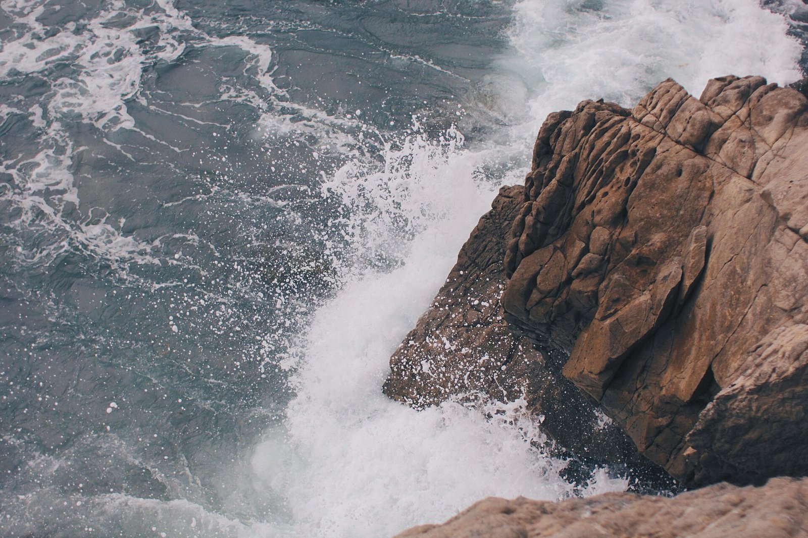
Photo: Cole Patrick, CC0 (Symbolbild).
One thing to get straight first: weather warnings expire. The yellow AEMET warning tied to this episode was short and overnight, and it had already lapsed by early Wednesday morning. The regional pre-alert works differently: it stays in place until the authority formally lifts it, and at the time of writing no official notice of a lifting has appeared. So before heading for the coast, check the live source rather than any headline.
What was declared, and what has already lapsed
The pre-alert for coastal phenomena took effect at 21:00 on Tuesday 1 September for three islands: La Gomera, Tenerife and Gran Canaria, according to the Canary government statement reported by La Provincia on 1 September 2026 and by Canarias7.
In parallel, AEMET activated a yellow warning for coastal phenomena in the provinces of Las Palmas and Santa Cruz de Tenerife. According to the national weather round-up for Wednesday 2 September published by tutiempo.net, that warning ran until 05:59 on Wednesday. Local reports put the end time somewhere between 05:00 and 06:00 that same night. Whichever minute is exact, the practical conclusion is the same: the AEMET yellow warning covered roughly nine overnight hours and was no longer in force during Wednesday itself.
The regional pre-alert and the AEMET warning are different instruments and do not end the same way. A weather warning has a closed time window; a pre-alert is declared and lifted by a decision of the regional emergencies directorate. That is why the perfectly ordinary situation arises in which the yellow warning has long expired while the pre-alert formally continues.
Which coasts, and what the sea is doing
According to the detail La Provincia took from the official statement, the measure pointed above all at the maritime channels between La Gomera and Tenerife and between Tenerife and Gran Canaria, and at the south-east coast of Gran Canaria. Early reports on the episode also mentioned the west of Gran Canaria and the east coast of La Gomera.
The conditions described were north to north-easterly winds of 30 to 50 km/h with gusts of force 7 at some points, and a sea state of moderate to rough, locally very rough. On top of that came northerly swell of one to two metres. The national Wednesday round-up cited, for the warning episode, north-easterly gusts of 50 to 61 km/h in exposed areas.
Swell is the part worth understanding. It does not depend on the wind you feel on the beach: it arrives from far away in long, widely spaced waves, and it can break hard at particular points of the shoreline even when the day looks calm on land.
What a "prealerta" actually means
The Canary emergency scale has three steps: prealerta, alerta and alerta máxima — pre-alert, alert and maximum alert. The pre-alert is the first and lowest. It brings no automatic closures or restrictions. It means heightened watchfulness: emergency services are put on standby, and a note of caution goes out to people in the affected areas.
Put differently, a coastal pre-alert is not a declared storm. It is notice that the sea may be dangerous along specific stretches of coast and that plans near the water are worth adjusting — not that a holiday needs cancelling. Reading it as graver than it is drains credibility from the warnings that really do demand a response.
The rest of the week: cloud, some rain, less heat
For Thursday 3 September, the AEMET forecast as reported by Diario de Avisos points to cloudy intervals tending to overcast in the morning, with possible weak to moderate occasional rain in the north. In the afternoon rain would be more likely in the medianías, the mid-altitude belt, with clear spells opening on the southern side late in the day. Tenerife and the north of Gran Canaria are the areas most often named.
Maximum temperatures are expected to fall slightly to moderately, more markedly in the medianías, with figures cited of up to 29 degrees on Tenerife and 28 in Las Palmas de Gran Canaria. Wind would be light from the north, veering north-east and picking up from midday, with intervals of strong wind on the south-east coast and the far north-west, and breezes on the west coast.
Looking to Friday, Canarian Weekly reports continued cloudy intervals and a few more showers, especially on Tenerife, with northerly winds losing strength on the western islands. On calima, the Saharan dust haze, published reports describe warm conditions with haze present across the archipelago and the possibility of exceeding 35 degrees at points on Gran Canaria; we found no reliable, specific calima forecast for Thursday on the eastern islands, so we are not asserting one.
And then the Pino spring tides arrive
There is a second reason to watch the sea over the coming days, and it is not meteorological. According to eldiario.es Canarias Ahora, the 2026 "mareas del Pino" spring tides fall in two windows: 4 to 8 September and 19 to 23 September, peaking around the 5th and 6th and again around the 20th and 21st.
Spring tides widen the range between high and low water. On their own they are not dangerous, but combined with swell they change the look of a familiar beach: natural rock pools fill in a rush, rocky sections go under earlier than expected, and waves reach parts of the promenade they normally never touch. That overlap — spring tide plus northerly swell — is exactly what the authorities tend to flag.
If you plan to swim, pick a beach with a lifeguard service and respect the flag. The flag judges that beach at that moment, which no general forecast can match for precision.
The yellow AEMET warning tied to this episode lapsed overnight into Wednesday 2 September.
No official notice lifting the regional pre-alert had appeared at the time of writing, which is not the same as confirming it is still active: verify it at the official source.
The wind and sea figures come from press reporting of the official statement and the AEMET bulletin, not from any measurement of our own.
Key facts
- Pre-alert for coastal phenomena declared by the Canary Islands government from 21:00 on Tuesday 1 September 2026 for La Gomera, Tenerife and Gran Canaria (regional government statement, via La Provincia and Canarias7).
- Areas named: the maritime channels La Gomera-Tenerife and Tenerife-Gran Canaria, and the south-east coast of Gran Canaria (La Provincia, 1 September 2026).
- Conditions described: north to north-easterly wind of 30 to 50 km/h with gusts of force 7; moderate to rough sea, locally very rough; northerly swell of 1 to 2 metres (La Provincia).
- AEMET yellow warning for coastal phenomena in Las Palmas and Santa Cruz de Tenerife, valid until 05:59 on Wednesday 2 September; north-easterly gusts of 50 to 61 km/h in exposed areas (tutiempo.net, round-up of 2 September 2026).
- Thursday 3 September: cloudy intervals and weak occasional rain in the north, maximum temperatures falling slightly to moderately, up to 29 degrees on Tenerife and 28 in Las Palmas de Gran Canaria (AEMET via Diario de Avisos).
- "Mareas del Pino" spring tides 2026: 4 to 8 and 19 to 23 September, peaking on the 5th-6th and the 20th-21st (eldiario.es Canarias Ahora).
FAQ
- Is the pre-alert still active today?
- We found neither an official notice lifting it nor a confirmation that it continues. A pre-alert remains in place until the authority expressly lifts it. Check the status through the Canary government and 112 channels before trusting any headline, including this one.
- And the AEMET yellow warning?
- That one had a closed window: according to the Wednesday round-up, until 05:59 on 2 September, with local reports placing the end between 05:00 and 06:00. It was an overnight warning of roughly nine hours and it has expired. New warnings can be issued at any time.
- Which coasts were flagged?
- Chiefly the channels between La Gomera and Tenerife and between Tenerife and Gran Canaria, plus the south-east coast of Gran Canaria. Early reports also cited the west of Gran Canaria and the east coast of La Gomera.
- How serious is a pre-alert?
- It is the lowest of the three steps on the Canary scale: prealerta, alerta, alerta máxima. It signals watchfulness and caution in specific zones, not automatic restrictions or beach closures.
- What do the authorities advise during coastal episodes?
- The self-protection advice the Canary government issues through 112 includes: stay off the ends of piers and breakwaters and away from where waves break; do not take photos or videos next to the sea in heavy swell; do not enter the water at beaches with a red flag, strong undertow or no lifeguard; suspend water sports in areas affected by swell; do not camp on the beach line; and call 112 in the event of any incident.
Read on
- Canary homes: foreign buyers down 20.3%, 941 fewer salesCanary Islands · 17 October
- Canary Islands weekend weather: only isolated showersCanary Islands · 17 October
- Canary Islands 17 October: festivals, concerts and partiesCanary Islands · 17 October
- Canaries: Ryanair cuts Berlin direct flights from 24 OctoberCanary Islands · 17 October
- Canary Islands: two-home limit planned for non-residentsCanary Islands · 16 October
- All events on the Canary Islands →