What changes for holidaymakers at the beach?
Sunday will be hot, especially on Gran Canaria and Lanzarote. AEMET expects local highs above 30C on the southern and western slopes of Gran Canaria and in the southern interior of Lanzarote.
Calima will drift across the archipelago at the same time. The dust can cut visibility and worsen air quality, particularly above 800 metres and on the southern sides.
Beachgoers get more heat, but also hazier skies. The Canary Islands health service advises adjusting outdoor physical activity and avoiding long spells in direct sun.
Nobody has published confirmed changes to flights, ferries or opening hours. If you travel on Sunday, allow extra time and check the latest travel information.
Which islands and areas are affected?
Gran Canaria and Lanzarote will be the hottest. On Gran Canaria, AEMET says values could locally exceed 30C on the southern and western slopes, especially at mid-altitude.
On Lanzarote, the southern inland areas could reach the 30C mark. Arrecife will see 21C to 26C, and Las Palmas de Gran Canaria 22C to 26C.
Fuerteventura gets calima in the upper air layers, with little change in temperature. Puerto del Rosario can expect 21C to 26C.
On Tenerife, La Palma, La Gomera and El Hierro, people will notice the calima mainly at mid and high altitudes. The southern sides will feel it more than the north.
How strong will the wind be?
On Sunday the wind blows from the north-east and may turn strong on exposed coasts. AEMET does not rule out isolated very strong gusts on the south-eastern and north-western coasts of the western islands, especially in the early morning.
At mid and high altitudes the wind turns south-easterly or southerly. That draws warm air and Saharan dust in from the African continent.
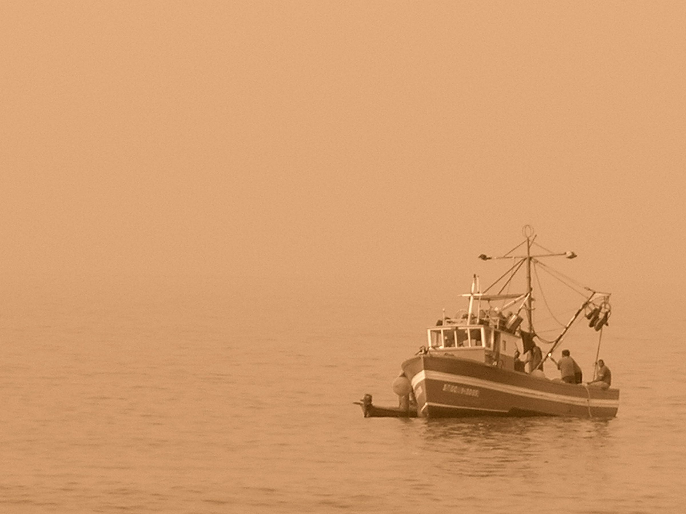
A forecast for open waters south of 35 degrees north runs from 08:00 UTC on 24 October to 08:00 UTC on 25 October. It expects north-easterly winds of force 5 to 6, occasionally 7, and moderate to rough seas.
If you travel by ferry or plan a boat trip, check sea conditions before you leave. Do it before departure, not at the harbour.
What do the health authorities advise?
The Canary Islands health service recommends adjusting outdoor physical activity during the heat and calima. People with respiratory or cardiovascular conditions, and anyone sensitive to heat, are particularly affected.
During calima, the authorities advise keeping doors and windows closed and avoiding strenuous outdoor effort. Drinking enough water and keeping usual medicines to hand matter too.
In hot weather, drink water even when you do not feel thirsty, avoid alcohol and stimulating drinks, and stay out of the sun between 11:00 and 16:00. Move physical activity to the early morning or late evening.
If respiratory symptoms worsen, the health service recommends calling the emergency number 112. Do not wait for them to settle.
What is still open?
Nobody has said how long the calima will last. Whether a formal weather or health warning will follow is also open.
In previous calima episodes, the Gobierno de Canarias has issued a pre-alert for possible impacts on air quality. On 25 October, check AEMET and the Gobierno de Canarias directly for a reliable forecast for the following day and any updates.
For travel decisions, AENA, the ferry companies or the relevant island authority are responsible. Ask them first.