What is the climate like on El Hierro by month?
The AEMET climate normals from the Hierro Aeropuerto station (C929I) show a balanced annual profile.
The average daily maximum temperatures remain above 20 °C even in the coolest month.
Precipitation is concentrated in the months from November to February.
From May to September, the average is no more than 3 mm per month. July records 0 mm and 0.0 rainy days, June and August 1 mm and 0.3 rainy days each.
When is the best time to visit El Hierro?
According to the official climate data, April to June and October and November are particularly well balanced for most activities. In these months, pleasant temperatures combine with less summer heat.
Anyone looking for the driest and warmest weather should choose June to September. Average daily maximum temperatures are then 24.0 to 26.5 °C, and precipitation remains minimal.
For winter sun, December to February are mild on the coast, but bring more cloud and rain than spring and summer. Average daily maximum temperatures are nevertheless around 21 °C.
The official island information describes mild conditions all year round and even names December as generally suitable for swimming. Water temperature and local surf remain variable, however.
What differences are there between the coast and higher areas?
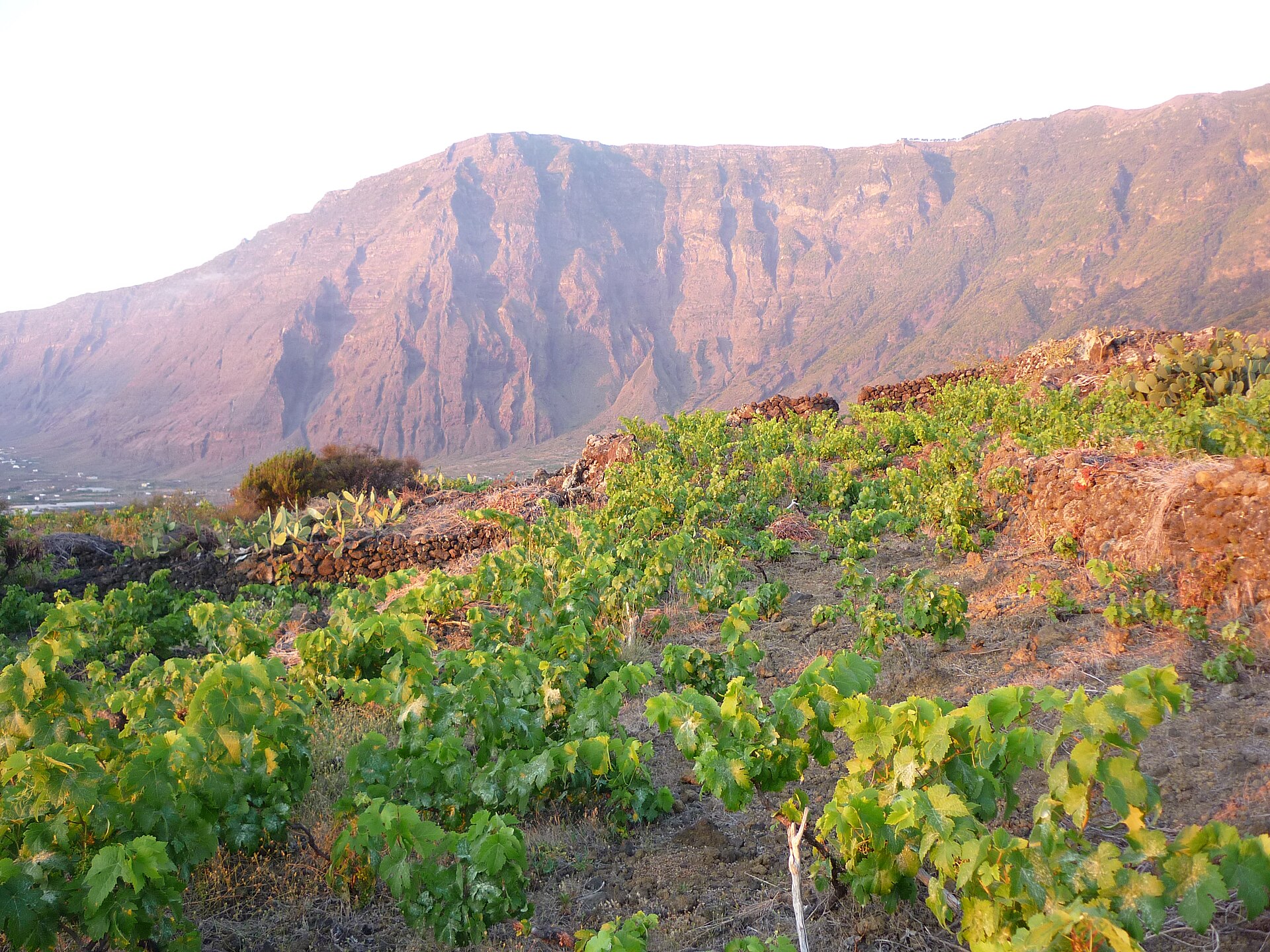
El Hierro is more climatically varied than its small size might suggest. The island ranges from the dry south to wetter high-altitude and northern areas.
The official Canary Islands climate information classifies lower coastal areas predominantly as dry subtropical climate with annual averages of about 18 to 22 °C. For the humid subtropical high-altitude zone, 12 to 17 °C are given as typical averages.
The reasons are the subtropical location, the trade winds and the altitude difference of up to 1,501 m.
The windward higher areas can be cloudier, wetter and cooler, while sheltered coastal areas remain sunnier. Clouds can linger on the ridges while the coast stays fine at the same time.
What is a calima and when does it occur?
A calima is a weather situation with dust carried over from the Sahara and warm, dry air. It can reduce visibility and intensify the heat.
The available official sources do not provide a reliable monthly calima normal series for El Hierro. It is therefore not possible to give a verified calima season with fixed months.
For specific travel days, the official AEMET warning and forecast page should be checked. Current values and warnings can also be found at CITA Weather (cita.news/de/wetter.html) and AEMET.
Climate averages are no substitute for a daily forecast. Before mountain, coastal or water sports trips, the current official weather and warning information must be checked.
What should you pack for El Hierro?
For the lowlands, light clothing and summer shoes are usually sufficient. For evenings, trade winds and higher areas, the official tourism information additionally recommends a warm layer.
When walking, heat, strong sun, wind, fog in higher areas and rapid local weather changes should be taken into account. A warm, windproof layer is particularly necessary for viewpoints and evening hours.
Do not only check the coastal temperature: compare weather reports for the specific place and altitude. If there are clouds in the higher areas, you can switch to the sunnier coast or postpone the outing.
In strong wind or rough seas, a sheltered inland trip is a good alternative to coastal or diving plans. Not every bay is suitable for swimming or diving at all times.
How does El Hierro compare with other Canary Islands?
El Hierro is the westernmost and smallest of the Canary Islands. Compared with Tenerife, Gran Canaria, Lanzarote or Fuerteventura, it is smaller and considerably quieter, with less large-scale beach and mass tourism.
The island is topographically more demanding and therefore more strongly shaped by high-altitude climate and local weather changes. It is less beach-oriented, but particularly suited to walking, diving, geology and nature observation.
El Hierro is not automatically sunnier than other islands. AEMET identifies August, September and October as the warmest months for El Hierro; this distinguishes the island from many other Canary Islands stations.
The entire island and adjacent waters have been a UNESCO Biosphere Reserve since 2000. Protected areas, coasts, volcanic terrain and marine areas must not be treated as freely usable spaces.