What is the climate like on La Palma?
The official La Palma Aeropuerto weather station in Breña Baja provides the most reliable climate figures.
The average maximum temperature reaches 26.6 °C in September.
Spring and autumn are considered particularly balanced periods for walking. However, the climate data do not guarantee conditions on any individual day. AEMET publishes current values and warnings.
Which sights should you see on La Palma?
The Parque Nacional de la Caldera de Taburiente covers the island's central caldera landscape. Access conditions, closures and any permits required must be checked with the national park authority before setting out on a walk.
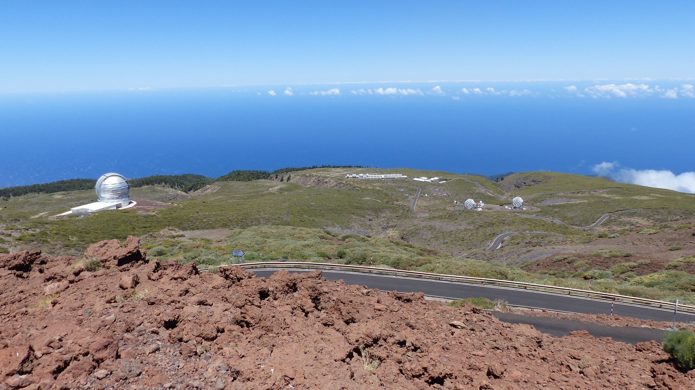
The Roque de los Muchachos is home to the Observatorio del Roque de los Muchachos. Access roads may be restricted because of weather, works or events.
The Volcán de Tajogaite is La Palma's youngest volcanic cone. It was formed during the 2021 eruption. The area is volcanically sensitive; paths, exclusion zones and guided access routes must be respected.
Santa Cruz de La Palma is the island capital and the main historic town and port. Los Llanos de Aridane is the largest town in the west and a key starting point for the western side.
The Bosque de Los Tilos is part of the La Palma biosphere reserve. Paths and access roads may be closed during heavy rain. The Ruta de los Volcanes runs along the high ridges in the south and is demanding in wind, fog, heat or ash conditions.
How do you get to La Palma and get around the island?
La Palma is reachable by air via Aeropuerto de La Palma. AENA or the relevant airline is the authority for connections, check-in deadlines and current flight schedules.
Ferry services are published by the respective shipping companies. Timetables and vehicle transport can vary seasonally. A blanket statement on prices or departure times is not reliable without checking the travel year.
Public buses, known in Spanish as guaguas, operate on the island. Routes, stops and fares must be checked with the relevant transport operator or the Cabildo, the island government.
Hire cars make it easier to reach remote viewpoints and walking car parks. But they do not remove the need to check road closures and protected area access. Winding roads and large differences in altitude make short distances time-consuming.
What rules apply in natural and volcanic areas?
Before any walk, check AEMET weather warnings, Cabildo notices and current protected area closures. In volcanic and national park areas, only marked paths may be used.
In hot weather, carry enough water, sun protection, sturdy footwear and a charged means of communication. Depending on the weather, there is a risk of rockfall, slipping or flooding in ravines, forests and on volcanic slopes.
Fires, camping, drones, collecting plants and entering closed areas may be subject to special rules in protected areas. In the event of volcanic gases or ash, only the instructions of the authorities apply.
The entire island is a biosphere reserve. In addition, there is the Caldera de Taburiente National Park, other nature and landscape protection areas and a marine reserve. The specific legal situation can vary depending on the protection category and municipality.
What makes La Palma different from the other Canary Islands?
La Palma is suited above all to nature, walking and cultural tourism, less to classic mass tourism with long sandy beaches. Tenerife and Gran Canaria are significantly larger, more urbanised and more intensively touristic.
Lanzarote and Fuerteventura are drier and focus more on beaches, wind and water sports. La Gomera and El Hierro are similarly nature-oriented and quiet.
La Palma has a particularly distinctive combination of high mountains, volcanic landscapes, laurel forest, culture and astronomy.
The Roque de los Muchachos reaches 2,426 metres. That makes La Palma one of the highest islands in relation to its area.
What alternatives are there in bad weather or when there are closures?
If you have to change plans because of weather, limited mobility or closed paths, there are alternatives. Instead of a long caldera walk, viewpoints and short paths in the national park are an option.
Instead of walking on the volcano, visitor and interpretation centres, museums or guided tours are possible. Instead of the high mountains, the historic old town of Santa Cruz, Los Llanos or villages with traditional architecture are suitable.
Instead of a demanding mountain tour, the Los Tilos laurel forest, short coastal paths or natural pools are an option. When visibility is poor at the Roque de los Muchachos, the island museum, archaeological sites, churches and art collections are an alternative.