What does the calima mean for holidaymakers and residents?
Calima is mineral dust from North Africa that can reduce visibility and temporarily affect air quality. According to the Gobierno de Canarias, it can cause respiratory and eye irritation in sensitive people.
The Canary Islands emergency service recommends following official advice and reducing physical exertion outdoors. Windows should remain closed when dust levels are high. Anyone who develops symptoms should seek medical advice.
For residents, expats and tourists, the reporting available does not mention any additional fees, access restrictions, closures or changes to transport and accommodation. No specific disruption at airports or ports is reported either.
How warm will it be on the individual islands?
The AEMET forecast gives 23C at night and 29C during the day for Santa Cruz de Tenerife. In Arrecife on Lanzarote the figures are 22 to 28C, and in San Sebastián de La Gomera 23 to 28C.
Las Palmas de Gran Canaria will reach 23 to 27C, according to AEMET. Santa Cruz de La Palma will see 22 to 27C, and Puerto del Rosario on Fuerteventura 22 to 27C. Valverde on El Hierro remains the coolest, at 18 to 23C.
Compared with the previous day, the forecast shows no significant temperature changes. The source does not include a monthly or annual comparison.
Where will the calima be felt most strongly?
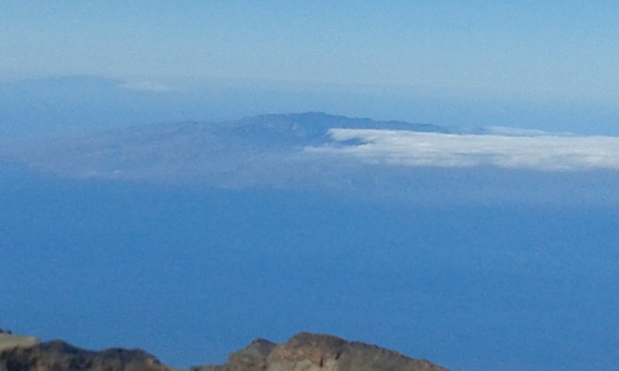
According to El Día, the light calima will persist mainly at mid altitudes and on the peaks of the islands with greater relief. That affects Tenerife, La Palma, La Gomera, El Hierro and Gran Canaria.
On Lanzarote and Fuerteventura, the dust is mainly in higher layers of the atmosphere, according to AEMET. The sky is expected to clear across much of the archipelago as the day progresses.
Low cloud may appear in the morning and late evening in the north of Gran Canaria, La Palma and El Hierro. Low cloud is possible in the east of Fuerteventura during the morning.
What are the conditions at sea?
For the waters around the Canary Islands, AEMET expects a north-easterly wind force 3 to 5 and slight to moderate seas. There will also be a north-westerly swell with waves of 1 to 2 metres.
The marine forecast was valid until 20:00 UTC on Friday 16 October 2026. No warning conditions were expected for the coasts, according to AEMET.
Anyone planning activities on the water or travelling in Canarian waters should take these conditions into account. The source does not mention any specific restrictions for ferry services or ports.
What do the authorities specifically recommend?
The Canary Islands emergency service advises keeping doors and windows closed and removing dust with damp cloths. Drinking enough water and continuing with usual medication are also recommended.
People with respiratory or cardiovascular conditions, older people, children and other vulnerable groups should reduce their exposure. Anyone experiencing breathing difficulties or a worsening of symptoms is advised to call 112.
On the roads, calima can reduce visibility. The authorities recommend switching on lights, reducing speed and driving more carefully.
What happens after 16 October?
The report describes a light weather situation that is expected to ease as the day progresses. It remains unclear how quickly dust levels will fully decrease after 16 October.
The updated AEMET forecast is the key reference for this. The original report contains no later binding deadline or follow-up measure.
Travellers and residents should check the current forecast before trips to higher ground or out to sea. The source points to the AEMET marine forecast and the advice from the Gobierno de Canarias.