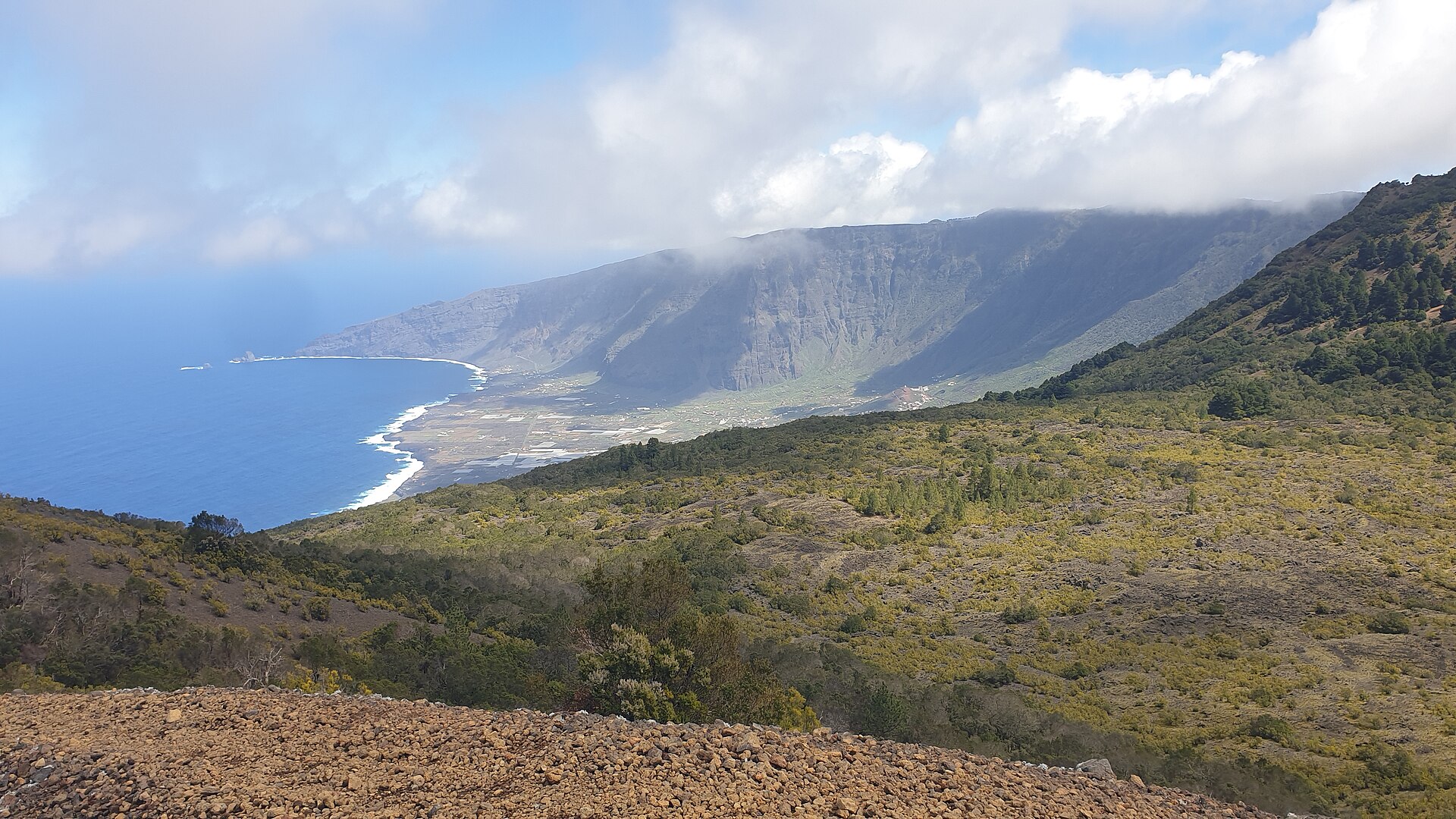
How do I arrive on El Hierro?
Aeropuerto de El Hierro (VDE) is in the east of the island, near Valverde.
The main ferry port is Puerto de La Estaca, north-east of Valverde. From there, roads lead to Valverde, El Tamaduste, La Frontera, El Pinar and the south. Official connections and timetables can change seasonally.
For the actual day of travel, only the current information from the airport, the airline and the bus or ferry operator is decisive. Tickets, vehicle transport and check-in deadlines must be checked with the relevant operator.
What should I sort out in the first few hours?
On the first day, expats should confirm the accommodation, key handover and address in writing. After that, it is important to get drinking water, food and medicines for at least one extra day.
Offline maps and important phone numbers should be saved. If the accommodation is remote, check mobile reception and access. For official errands, have your ID, rental contract and, where applicable, Spanish documents ready.
The island is sparsely populated; outside the larger towns, opening hours and shopping options are limited. Shopping and appointments should therefore not be left until late in the evening.
Where can I find the island administration?
The Cabildo de El Hierro is based in Valverde. The published contact address is C/ Dr. Quintero Magdaleno, 11, Valverde; the stated public opening hours are 08:30–14:00.
For registration, residence, tax or utilities matters, the responsible office is in charge in each case. A tourist information centre does not replace registration with the town hall, foreigners' office or other administrative bodies.
Valverde works well as a first base for administration and supplies. On the second day, newcomers can travel the route to the Cabildo and the relevant municipality, locate banks, pharmacies, supermarkets and petrol stations, and check bus connections for their own neighbourhood.
What climate can I expect on El Hierro?
The AEMET normal values for the airport show a mild island climate that is not the same everywhere. The warmest airport normal values occur in August and September; the highest average rainfall occurs in December, January, February and November.
For hiking and exploration, spring and autumn are often practical because of the moderate temperatures; summer is particularly dry. On El Hierro, however, temperature, cloud cover and wind vary clearly between the coast, the highlands and the north side. Before any outing, check current AEMET warnings and local path information.
What rules apply to fires and camping?
Hoya del Morcillo can be reached via the signposted roads from El Pinar: via HI-4, HI-40 and HI-400 or via HI-1 and HI-40. Facilities there include drinking water, fire pits, tables, benches, a children's play area, huts, parking, showers, a caravan area and a camping zone.
The recreation area is open from 11:00 to 19:00. Fire pits may be used from sunrise to sunset. From 1 June to 30 September, fire pits may only be used until 20:00.
Camping is only allowed with a permit and for a fee. Fires may only be used in expressly authorised places and within the permitted times. Additional restrictions may apply when there is a risk of forest fires.
What should I bear in mind regarding safety?
Coasts, cliffs and volcanic terrain should not be explored in the dark or in strong winds. Stay on marked paths and observe local closures. In remote areas, carry water, sun protection and a charged means of emergency communication.
Reduce speed in fog in the highlands. Check your range before refuelling and before long journeys. In Spain, the emergency number is 112.
For the first 48 hours, a calm travel plan is advisable: flight and ferry connections are limited, and distances look short on the map but take longer because of the mountain roads.