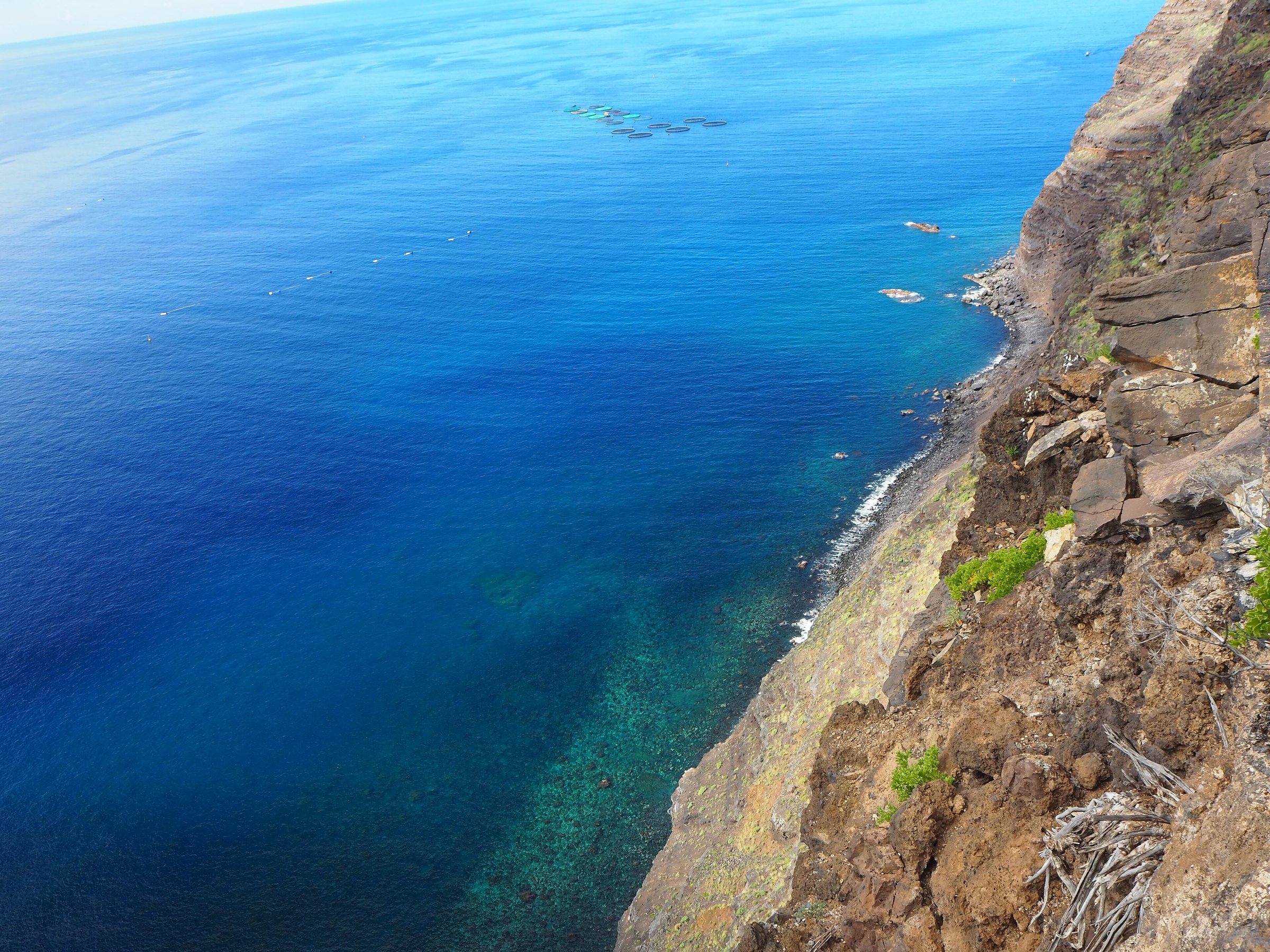
What changes on Monday for visitors to La Palma?
The state weather service AEMET expects mostly patchy cloud on La Palma on Monday 16 November 2026. Inland it thickens during the day, with high cloud on top.
Rain is not firmly forecast, but it is not ruled out: AEMET mentions light rain in the north in the second half of the day. The text mentions no rain for the south, and there is no separate forecast for the southern resorts.
Anyone planning a trip to the north should go in the morning and pack a rain jacket. The forecast gives no reason for those staying in the south to change their plans.
How warm will it be, and how calm is the sea?
In Santa Cruz de La Palma, AEMET gives a low of 16 and a high of 24 degrees on Monday. Sunday's town forecast shows 15 and 24 degrees, so temperatures barely change.
The wind is light from the north-east. It picks up along the far north-west and south-east coasts of the island.
The two AEMET texts differ slightly on the sky. The island forecast speaks of patchy cloud, while the Santa Cruz town forecast shows little cloud after a clear night and a UV index of 4 at most.
For the whole archipelago AEMET expects a slight to moderate sea (marejadilla or marejada). A north to north-westerly swell with waves of one to two metres comes on top, and this figure does not apply specifically to La Palma.
Among the capitals, Santa Cruz de Tenerife reaches 20 to 25 degrees and Las Palmas de Gran Canaria 21 to 25 degrees. In Valverde on El Hierro, AEMET expects 16 to 21 degrees on Monday.
Is a warning in force, and who decides?
For the zone “Este de La Palma” (east of the island), the AEMET town forecast shows no danger on any symbol. The page gives no date of issue, however.
AEMET issues yellow, orange and red warnings, which rate the weather itself. The Canary Islands government sets Prealerta (pre-alert), Alerta (alert) and Alerta máxima (maximum alert) separately, rating the emergency response, as a government note explains.
Early November was different: AEMET issued an orange warning for summits and east and west slopes, with up to 30 l/m² an hour. According to reports of 2 November, up to 62 l/m² fell in one hour overnight, and the government triggered its highest alert level.
Up to 138 l/m² built up in twelve hours. When the rain eased, the government lowered the east of the island to “Alerta”.
How wet is La Palma in November, usually?
According to the Isaac Newton Group, which runs an observatory on La Palma, November brings the most rain, around 140 millimetres in Santa Cruz. From June to August almost none falls.
The north-east is much wetter, while the south is relatively dry and sunny. The north-easterly trade wind brings moisture that, because of the island's height, falls mostly as rain in the north-east.
2026 has been a wet year. According to AEMET, Storm Therese brought 615.2 l/m² to the Roque de los Muchachos in seven days in March, 242 of them on 24 March alone.
The airport recorded 140 l/m² in that period. Its monthly record is 335.8 l/m², set in November 2004.
A climate analysis for Santa Cruz de La Palma puts the average sea temperature in November at about 22.5 degrees. That is an average, not a forecast for Monday.
What does the rest of the week look like?
AEMET's table for Santa Cruz shows a slight upward trend: Tuesday 17 to 25 degrees, Wednesday 19 to 26 degrees, Thursday 20 to 26 degrees. Friday sits at 19 to 26 degrees and Saturday 21 November at 19 to 27 degrees.
No warnings were in force when the data was checked. The table does not let us pin the rain chances to single days with certainty, though for Monday the values point to low chances.
Anyone planning tours to the summit zone should check the AEMET warning zones “Oeste de La Palma” (west of the island) and “Este de La Palma” on the day itself. AEMET updates its forecasts daily.