Magma deep beneath Tenerife: what the new study shows
A research team led by the Instituto Volcanológico de Canarias (Involcan) has produced the first three-dimensional image of the deep crust and upper mantle beneath Tenerife. According to the specialist site Vulkane.net, the paper appeared on 23 August 2026 in Scientific Reports (Nature Portfolio) under the title "Revealing magma storage and underplating beneath Tenerife island from receiver function analysis"; its authors include Víctor Ortega-Ramos and Luis D'Auria. EFE and a wide range of outlets reported on it from 28 August.
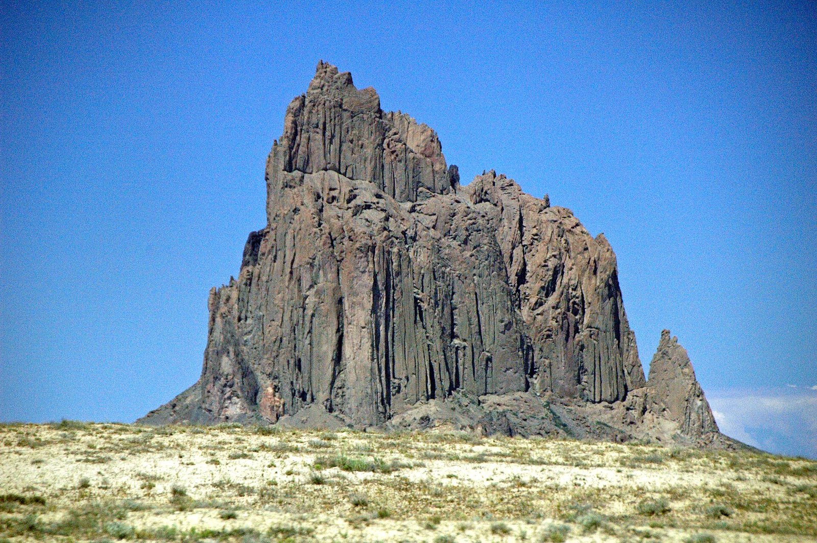
Photo: James St. John, CC BY 2.0 (Symbolbild).
The essential context first: the study explains where the unusual earthquake activity recorded beneath the island since 2016 comes from — it does not forecast an eruption. Involcan's scientific coordinator Nemesio Pérez is quoted by Diario de Avisos saying that "los resultados de este estudio no cambian la probabilidad de erupción a corto, medio y largo plazo, que permanece baja" — the results do not change the probability of an eruption in the short, medium or long term, which remains low. No alert level was changed; the volcanic traffic light for Tenerife stays green.
What the researchers found
According to EFE and subsequent coverage, the team identified four extended zones of markedly low seismic velocity beneath Tenerife. Such zones slow shear waves (S-waves) in particular, which is a classic indication that the rock there is partially molten. The anomalies sit at roughly 10 to 30 kilometres depth — deep in the crust and at the boundary with the upper mantle.
The most prominent of them lies under the western sector of the island and coincides spatially with the Teide–Pico Viejo complex. La Provincia gives a depth of around 15 kilometres for the most striking part of it beneath Pico Viejo. For the areas with the lowest velocities, coverage in Diario de Avisos, negocios.com and Vulkane.net reports a modelled local melt fraction of up to 79 per cent by weight. That is a calculated estimate for specific pockets, not an average for the island as a whole.
How you look inside an island
Nobody can drill 20 kilometres down. Instead, the technique known as receiver function analysis uses earthquakes that happen far away around the world. Their waves travel through the Earth and arrive at Tenerife from below. At every boundary between rock layers, part of the wave is converted and slightly delayed. From these tiny differences recorded at many stations, researchers can reconstruct how the subsurface is built — much as an ultrasound image is assembled from reflected sound.
According to Vulkane.net, the team analysed more than 785 distant earthquakes recorded between 2017 and 2024 by the Red Sísmica Canaria. What is new here is not the magma itself: molten rock beneath an active volcanic island is geologically expected. What is new is that its position can now be mapped in three dimensions for the first time.
"Underplating" — what the term actually means
The authors interpret the findings as magmatic underplating. In plain terms: magma rising from depth gets stuck at the base of the old oceanic crust and accumulates there instead of continuing towards the surface. A rough analogy is warm air pooling under a ceiling — it rises, but it does not get through.
That is exactly why the distinction between storage and ascent matters so much. Underplating describes a state of storage over geological timescales, not an active upward movement. The Italian edition of Euronews puts it explicitly: locating these anomalies at 10 to 30 kilometres depth does not in itself imply that magma is rising towards the surface.
Why this explains the tremors since 2016
Since 2016, the IGN and Involcan have recorded recurring swarms of very small earthquakes beneath Tenerife, mostly in the Las Cañadas del Teide area. July 2026 alone produced 641 events. Until now it was unclear why this microseismicity clustered precisely there. The new study offers a spatial explanation: according to the coverage, the anomalous seismicity sits above, or along the edges of, the main anomaly.
The plausible reading is that fluids and stresses around the deep storage region repeatedly fracture the brittle rock surrounding it — without magma having to be on its way upward. An observation that had no settled explanation becomes an understood phenomenon. That is the real value of the work: better explanation, not a new forecast.
How Tenerife is monitored
The island is among the most closely watched volcanic areas in Europe. Within the civil protection plan Pevolca, the Instituto Geográfico Nacional (IGN) and Involcan work together. According to the reporting, three things are tracked above all: seismicity, ground deformation, and gas emissions together with their geochemistry. The assessment changes only when several of those signals rise clearly and at the same time.
That is not the situation now. Itahiza Domínguez, head of the IGN in the Canary Islands, was quoted in late August saying the conditions are not in place to raise Tenerife's volcanic traffic light to orange; gas emission had in fact eased, and ground deformation amounted to only about two centimetres over three years. Media reports say Pevolca has decided to keep reviewing the situation at quarterly meetings. The last eruption on Tenerife was Chinyero in November 1909, which reportedly lasted around ten days.
Watch the verbs: "stored" and "accumulated" mean something different from "rising" or "intruding".
Check the source: what counts are the bulletins from the IGN, Involcan and Pevolca, not screenshots circulating on social media.
Put the depth in perspective: 10 to 30 kilometres is very deep; the shallow crustal intrusion that would matter for an eruption has not been observed, according to the IGN.
No change to the alert level: on the available information, Tenerife's volcanic traffic light remains green.
A figure to handle with care: the melt fraction of up to 79 per cent by weight is a model-based local estimate for specific pockets, not a direct measurement and not a value for the subsurface as a whole.
Key facts and figures
- Study in Scientific Reports (Nature Portfolio), published 23 August 2026 according to Vulkane.net; led by Involcan, authors include Víctor Ortega-Ramos and Luis D'Auria
- Four low S-wave velocity zones at roughly 10 to 30 km depth (EFE, Euronews)
- Main accumulation in the western sector, coinciding with the Teide–Pico Viejo complex; the most striking part at about 15 km according to La Provincia
- Local melt fraction in the strongest anomalies up to 79 per cent by weight (modelled estimate; Diario de Avisos, negocios.com, Vulkane.net)
- Data basis: more than 785 distant earthquakes from 2017 to 2024, Red Sísmica Canaria (Vulkane.net)
- Ground deformation about 2 cm over three years, gas emission easing; Tenerife's volcanic traffic light green (IGN, late August 2026)
- Last eruption on Tenerife: Chinyero, November 1909, lasting around ten days
FAQ
- Does this finding mean an eruption is coming?
- No. Involcan coordinator Nemesio Pérez is quoted by Diario de Avisos saying the results do not change the probability of an eruption in the short, medium or long term, and that it remains low. The study explains existing observations; it forecasts nothing.
- Has the alert level been raised?
- No. On the available information, Tenerife's volcanic traffic light remains green. The IGN said in late August that the conditions are not in place to move to orange.
- What does "magmatic underplating" mean?
- Rising magma gets stuck at the base of the old oceanic crust and accumulates there instead of travelling to the surface. It describes storage over geological timescales, not an active ascent.
- How did researchers see that deep without drilling?
- Through receiver function analysis: waves from distant earthquakes are converted at boundaries between rock layers underground. Those signals, gathered at many stations, build a 3D image — more than 785 quakes from 2017 to 2024 were analysed, according to Vulkane.net.
- What would scientists treat as a genuine warning sign?
- Based on the IGN's statements, a shallow magmatic intrusion into the crust would be decisive, alongside clearly increasing ground deformation and gas release. None of that has been observed so far.
Read on
- Puerto de la Cruz: Michelin star, but closed for refitsTenerife · 17 October
- Puerto de la Cruz considers stressed housing zone statusTenerife · 17 October
- 641 earthquakes in July: a swarm beneath the TeideTenerife · 21 August
- Tenerife: Eólica Festival on 16 and 17 OctoberTenerife · 16 October
- Tenerife: 22 October phone alert is only a testTenerife · 17 October
- All events on Tenerife →