When and where did the quake strike Fuerteventura?
The IGN catalogue records the event on 2 October 2026 at 04:06:42 UTC, which is 05:06 in the Canaries. The coordinates are 28.2428 degrees north and 14.2938 degrees west, and the catalogue gives the location as SW Pájara.
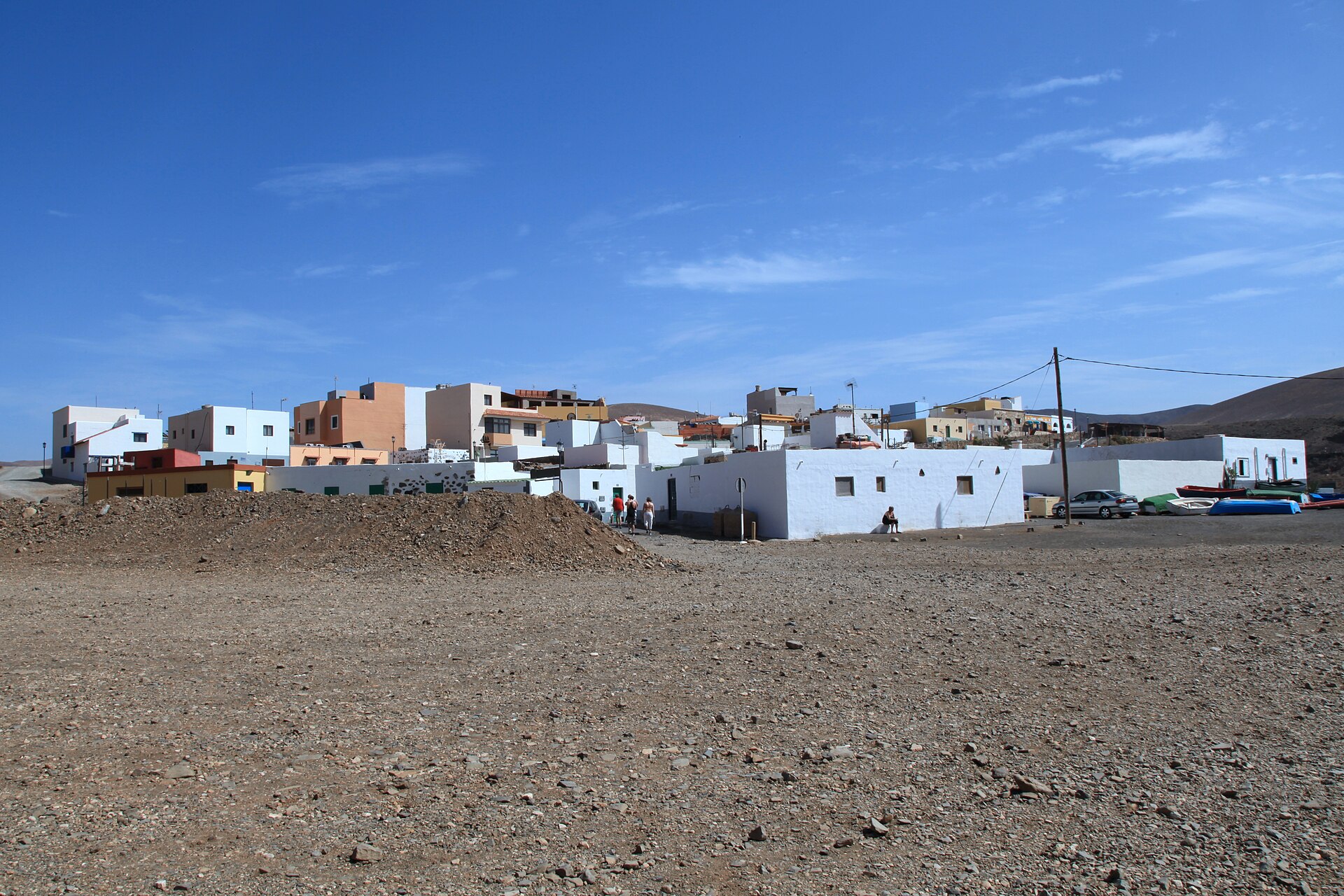
Radio Insular places the epicentre at sea off the west coast of the island's south. RTVC and Canarias Ahora write that it lay off the coast of Barlovento in the municipality of Pájara. That municipality includes Ajuy and Morro Jable, among others.
Is the magnitude 3.0 or 3.2?
The IGN catalogue, checked on 3 October 2026, shows magnitude 3.0 mbLg and a depth of 4.0 kilometres for the event. Intensity is listed there as III.
Radio Insular gives 3.0 in its headline and 3.2 mbLg in the text, at a depth of four kilometres. Canarias Ahora and 20minutos report 3.2 at four kilometres, RTVC 3.2 at five kilometres.
CITA follows the IGN catalogue because it is the primary source. The catalogue value therefore differs from most media reports from Friday morning; the catalogue gives no reason.
How strongly was the quake felt?
The IGN assigns the quake a maximum intensity of III on the European Macroseismic Scale, which Radio Insular describes as weak. At this level some people indoors notice it, mainly when at rest, and hanging objects swing slightly.
RTVC and Canarias Ahora report intensity II to III in about 20 localities in the south and along the whole west coast. They name Pájara, Tuineje, Betancuria and Antigua; 20minutos adds La Oliva.
Reports also list Ajuy, El Cotillo, Morro Jable and Tindaya among the places where it was felt. For a village like Ajuy that means a brief, light swaying and no damage.
Was there any damage or disruption?
Canarias Ahora writes that the quake caused no damage; at this intensity, buildings and structures do not suffer damage. The other reports reviewed likewise mention no damage.
Anyone who felt the quake can report it to the IGN. According to Radio Insular, the IGN keeps a macroseismic questionnaire open on its website; the answers refine the map of places where the quake was felt.
How does the quake fit into the last few months?
According to Radio Insular, it is the latest of several quakes felt on Fuerteventura in recent months. On 22 May, a magnitude 4.8 quake with its epicentre at sea near Gran Canaria was felt in 13 localities on the island.
A few days later came a magnitude 2.5 quake west of the island at a depth of four kilometres, felt in Betancuria and Pájara. On 30 June, a magnitude 3.9 quake between Gran Canaria and Fuerteventura was felt in Antigua, Tuineje and Pájara.
On 13 July, a magnitude 3.2 quake northwest of the island was felt across large parts of Fuerteventura. The sources make no statement on whether further quakes will follow.