Drones over Canary Nature: What the New Guide Recommends
The Canary Islands government has published a handbook on flying drones in natural areas. The Consejería de Transición Ecológica y Energía presented the "Manual de Buenas Prácticas para el Uso de Drones (UAS) en la Naturaleza de Canarias" on 2 September 2026, describing it as a tool to make the technology compatible with the conservation of the archipelago's biodiversity.
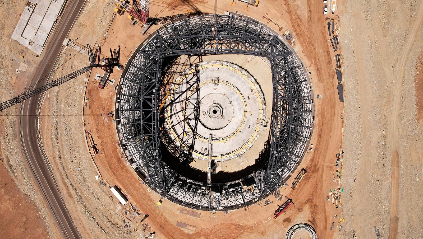
Photo: ESO/G. Vecchia, CC BY 4.0 (Symbolbild).
One point matters more than any other for anyone who travels with a drone in their backpack: this is a set of recommendations, not a new ban. The binding rules live elsewhere — and they have been in force for years.
A handbook, not a new law
The institutional announcement and the coverage that followed it consistently describe the text as a "manual de buenas prácticas", a good-practice handbook. According to those accounts it compiles the rules already applicable to flying drones in natural settings and adds recommendations that go "beyond compliance with the regulations".
The vocabulary of binding law — decree, order, regulation, penalty regime — does not appear in the material released. On the evidence available, the handbook creates no new prohibitions and no new fines of its own. Anyone concluding that drones have just been newly regulated in the Canaries has it wrong. So does anyone concluding that they are unrestricted.
What is in it: before, during and after the flight
The handbook belongs to a technical series, the "Manuales de Buenas Prácticas en la Naturaleza de Canarias", developed by the Servicio de Biodiversidad. It is aimed deliberately wide: public administrations, the managing bodies of protected natural areas, companies and professionals in the sector, and recreational hobby flyers.
Its recommendations are organised around the three phases of an outing: before, during and after. Beforehand, the point is to plan the activity and understand the environmental characteristics of the site. During the flight, to take measures that avoid disturbing wildlife. Afterwards, to record and assess any incidents observed.
Why birds are at the centre of it
According to the published summaries, the handbook identifies its principal risks as stress and alterations to the natural behaviour of birdlife, together with effects on sensitive habitats. That is the heart of the matter: a nesting bird does not read a drone as a camera. It reads it as something approaching.
One limitation is worth knowing. The publicly available summaries of the handbook give neither a list of species nor fixed minimum distances in metres. If you are shown such numbers elsewhere and told they are "the new Canary drone rule", ask for the source. The full text is reported to be freely available online for public consultation.
What is actually legally binding
The binding framework is European. Implementing Regulation (EU) 2019/947 governs unmanned aircraft operations. Most recreational and low-risk professional flights fall into the "open" category with its subcategories A1, A2 and A3, subject as a general rule to a ceiling of 120 metres above ground level. The competent authority in Spain is AESA, the Agencia Estatal de Seguridad Aérea. It requires registration as an operator for most aircraft above 250 grams or fitted with a camera, plus a certificate of competence — online training and a test for A1/A3, additional training for A2.
Two further layers sit on top. First, "UAS geographical zones": the EU regulation allows member states to restrict, prohibit or condition drone flight for reasons including environmental protection. Second, environmental law. Spain's Ley 42/2007 on natural heritage and biodiversity prohibits intentionally killing, harming, disturbing or harassing wild animals, whatever the method used, and covers the destruction or deterioration of nests and of breeding, wintering and resting places. Inside a protected area, the managing body — a cabildo, the regional government or a national park administration — will typically require its own authorisation as well.
Practical: what to settle before take-off
The fastest route to answering "can I fly here?" is the official Spanish viewer ENAIRE Drones, which maps the UAS zones, including areas of sensitive fauna and protected natural spaces. It does not, however, substitute for the site manager's permission: the two have to be checked separately.
For the Parque Nacional del Teide, a new Plan Rector de Uso y Gestión has applied since 18 December 2025, approved by Decreto 182/2025 of 1 December and published in the BOC no. 240 of 3 December 2025. It sets the park's general rules of use and management; the precise wording on overflight sits in the plan itself and should be read there. What the new handbook adds is a set of technical criteria that administrations can use to assess whether to create their own geographical drone zones in particularly sensitive enclaves. Should such zones arrive, the legal obligation would flow from the rules those administrations then approve — not from the handbook.
1. Check the location on the ENAIRE Drones viewer — protected natural areas and sensitive-fauna zones are mapped there.
2. Have your AESA operator registration and the right competence certificate for A1/A2/A3 ready.
3. If it is a protected area, ask the managing body about authorisation — the aviation rules do not replace it.
4. When in doubt, keep your distance and leave the drone in the bag. A shot is rarely worth a broken nesting attempt.
Key facts
- Presented on 2 September 2026 by the Consejería de Transición Ecológica y Energía of the Gobierno de Canarias.
- Title: "Manual de Buenas Prácticas para el Uso de Drones (UAS) en la Naturaleza de Canarias", part of a technical series by the Servicio de Biodiversidad.
- Main risks identified: stress and altered behaviour in birdlife, plus effects on sensitive habitats.
- Intended readers: administrations, managing bodies of protected areas, companies, professionals and recreational flyers.
- Binding ceiling in the open category under Regulation (EU) 2019/947: 120 metres above ground; AESA operator registration required for most drones over 250 grams or with a camera.
- Penalty range under Ley 21/2003 for private individuals, per current legal summaries: minor breaches from 60 euros, very serious ones up to 225,000 euros.
FAQ
- Is the new guide compulsory?
- On the evidence of the institutional announcement and the reporting, no. It is described as a good-practice handbook of an advisory nature that compiles existing rules and adds recommendations. It does not announce new prohibitions or fines.
- Can I still fly in Canary protected areas?
- That depends on the area, and the handbook has not changed it. What governs are the AESA aviation rules, any UAS geographical zones, and the requirements of the relevant site manager, who frequently demands a separate authorisation.
- How high am I allowed to fly?
- In the open category under Regulation (EU) 2019/947 the general limit is 120 metres above ground level. Local zones may impose stricter conditions.
- Do I need to register?
- In Spain, AESA requires registration as an operator for most drones above 250 grams or carrying a camera capable of capturing personal data, together with a certificate of competence appropriate to the subcategory.
- Does the handbook set specific minimum distances from birds?
- The publicly available summaries state neither fixed distances in metres nor a list of species. The full text is reported to be available online free of charge.
Read on
- Gran Canaria: hotel cleaner arrested over gold chain theftGran Canaria · 18 October
- Gran Canaria cheapest petrol €1.375 a litre, 17 OctoberGran Canaria · 18 October
- Fiestas del Pino 2026 in Teror: a guide to Gran Canaria's biggest celebrationGran Canaria · 27 August
- Beach Office Canary Islands: A Realistic Guide for Digital NomadsGran Canaria · 30 July
- Gran Canaria 17 Oct: free Oktoberfest, cheese, bodyboardGran Canaria · 17 October
- All events on Gran Canaria →